Hwy. 280

PDF Map | Closest River Gauge | All Cahaba Gauges | Swim Guide
×Access Point

Cahaba River Rd
Birmingham, AL 35243
Get Directions →

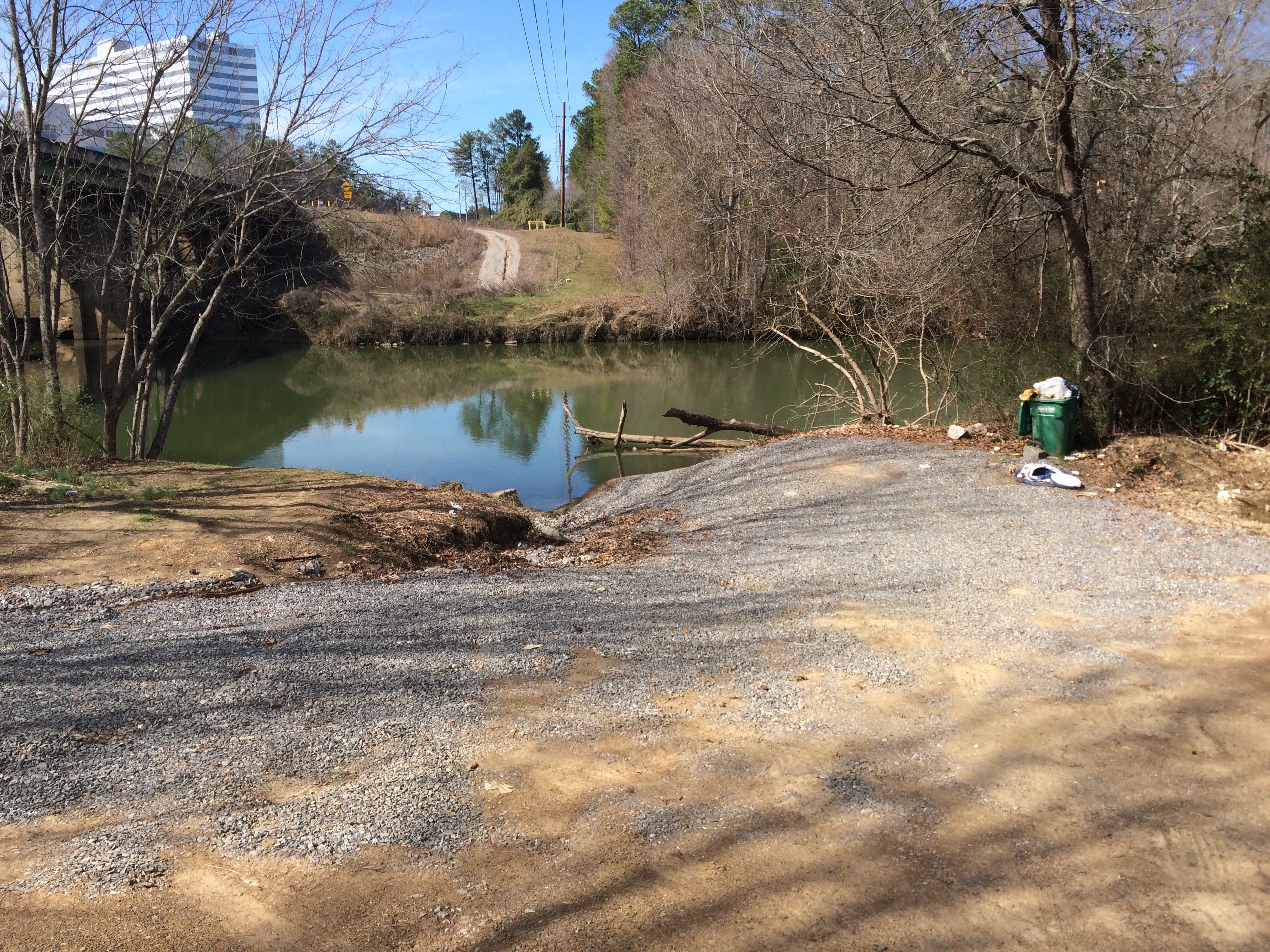
The US HWY 280 access point is currently an unimproved water access and parking area on the left bank of the river (as you paddle downstream)  accessible from Old Hwy. 280 by way of a rough dirt road that passes underneath the highway bridges.  While unimproved, this location is currently the safest way get a canoe or kayak in and out of the river at US HWY 280.

Area Restaurants, Lodging, and Tourism Resources:
https://www.birminghamal.org/visit/
http://business.hooverchamber.org/list/
https://mtnbrookchamber.org/list/
http://vestaviahills.org/membership/member-businesses/categories/

+River Segment - 0.0 miles

The US HWY 280 access the only location on the upper Cahaba River where a paddler can put in and take out at the same location. Due to the dam located 50 yards downstream of the US HWY 280 bridges that impounds the river, the current here is generally minimal, making paddling upstream several miles possible. Please note that the 280 dam is very dangerous, and the highway bridges often have woody debris lodged against the bridge supports that can also be hazardous to paddlers. To stay safe, do not go any further downstream of the US HWY 280 access and stay well upstream of the bridges.

+Gallery