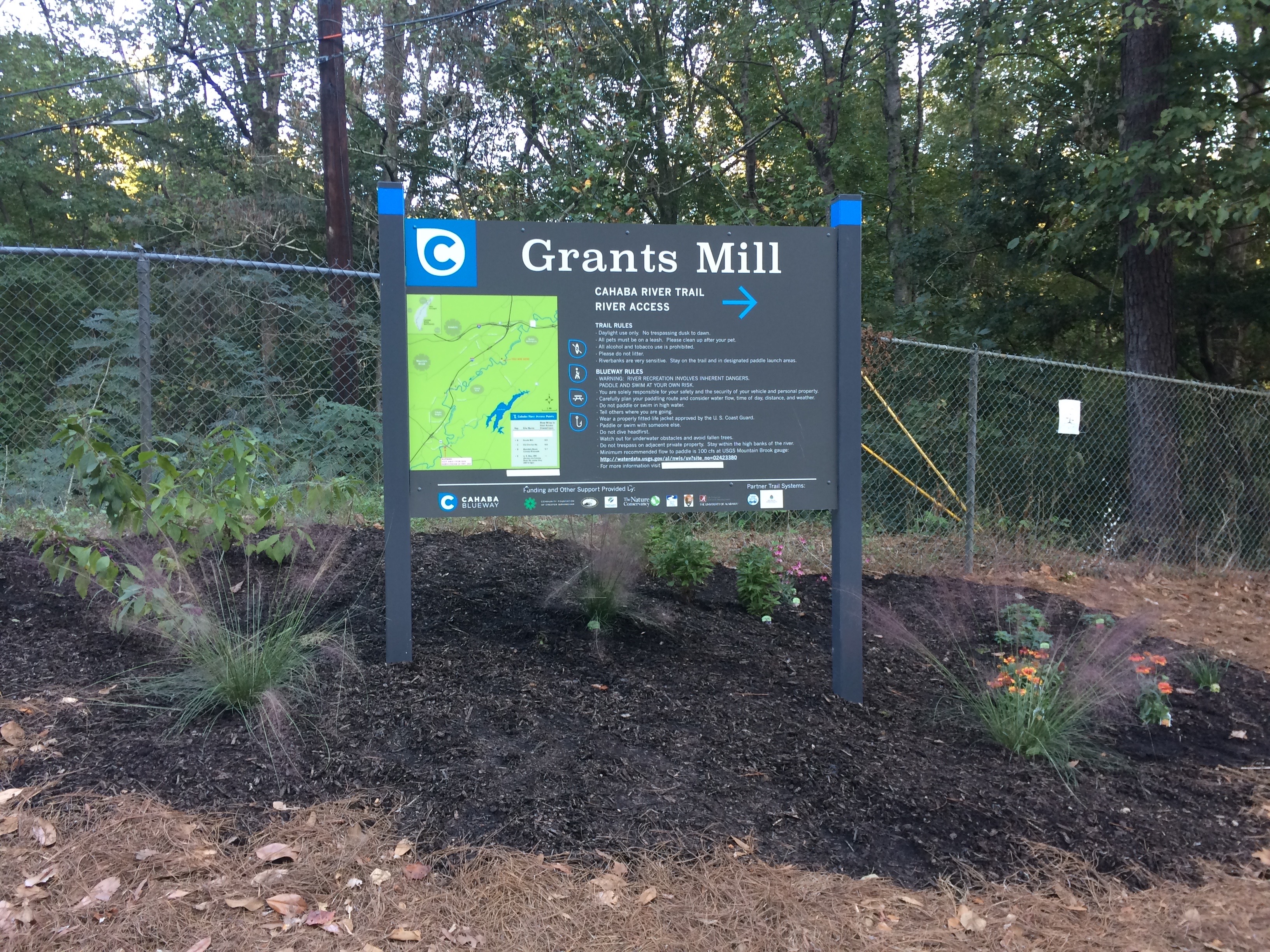
Grants Mill

Designated Cahaba Blueway Access

PDF Map | Closest River Gauge | All Cahaba Gauges | Swim Guide Access Point Fishing Hiking Trail Picnic Area
×Access Point

Grants Mill Rd
Irondale, AL 35210
Get Directions →

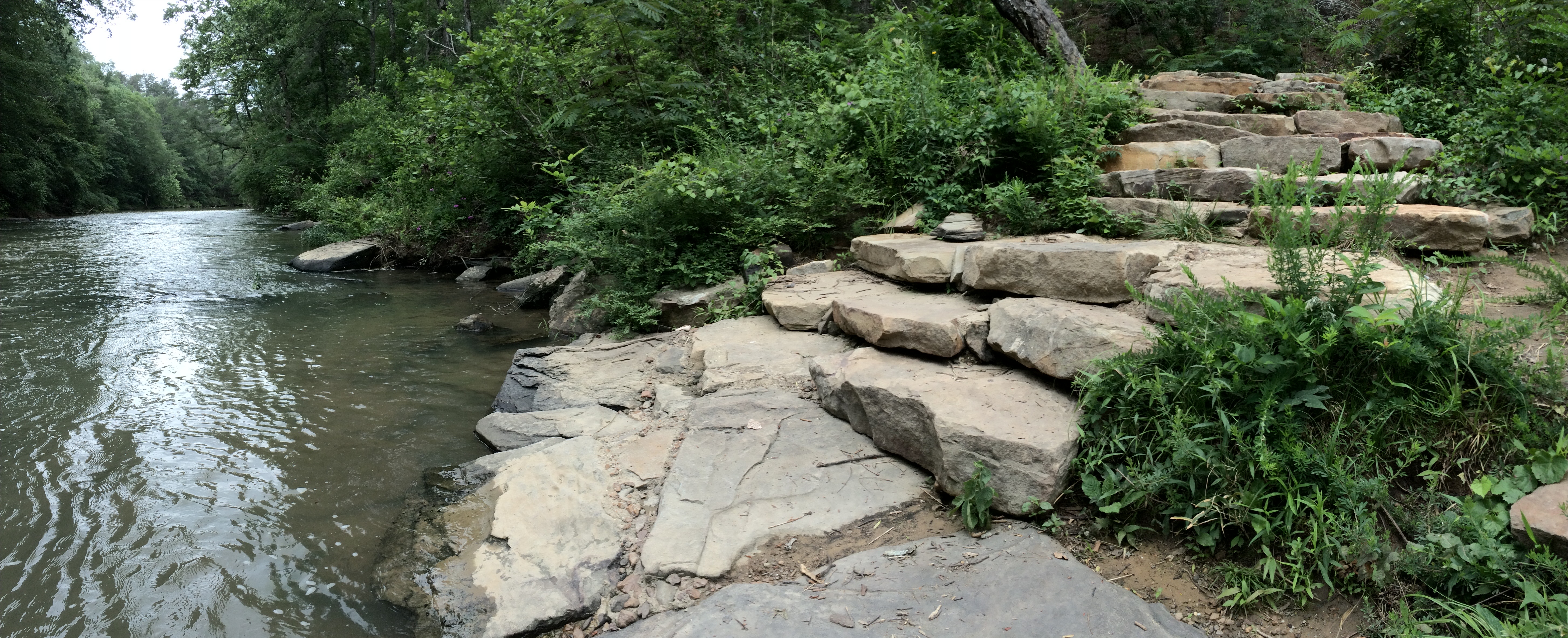
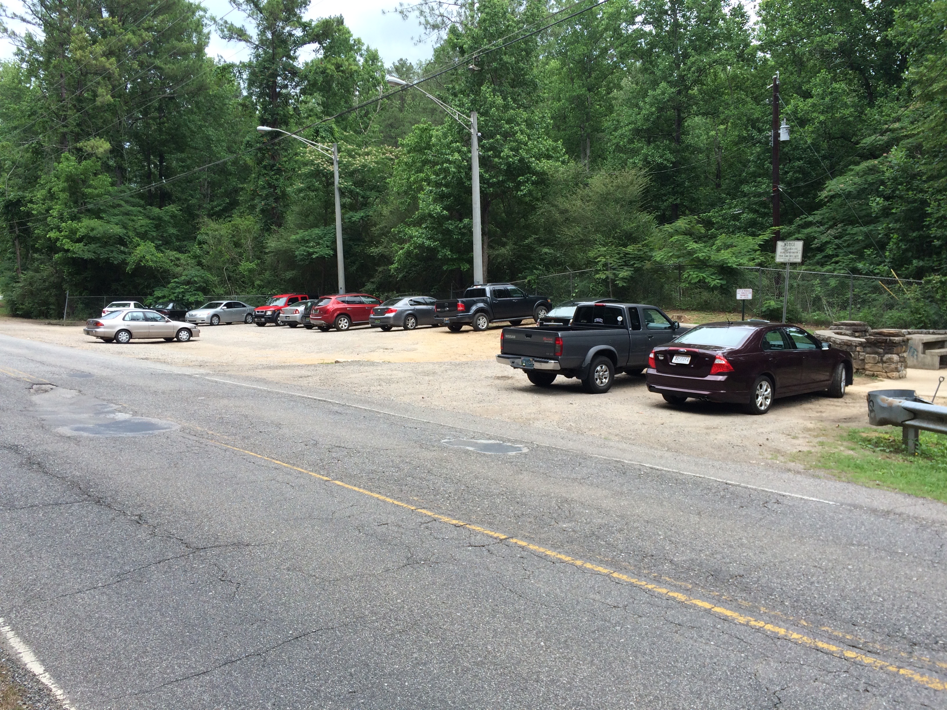
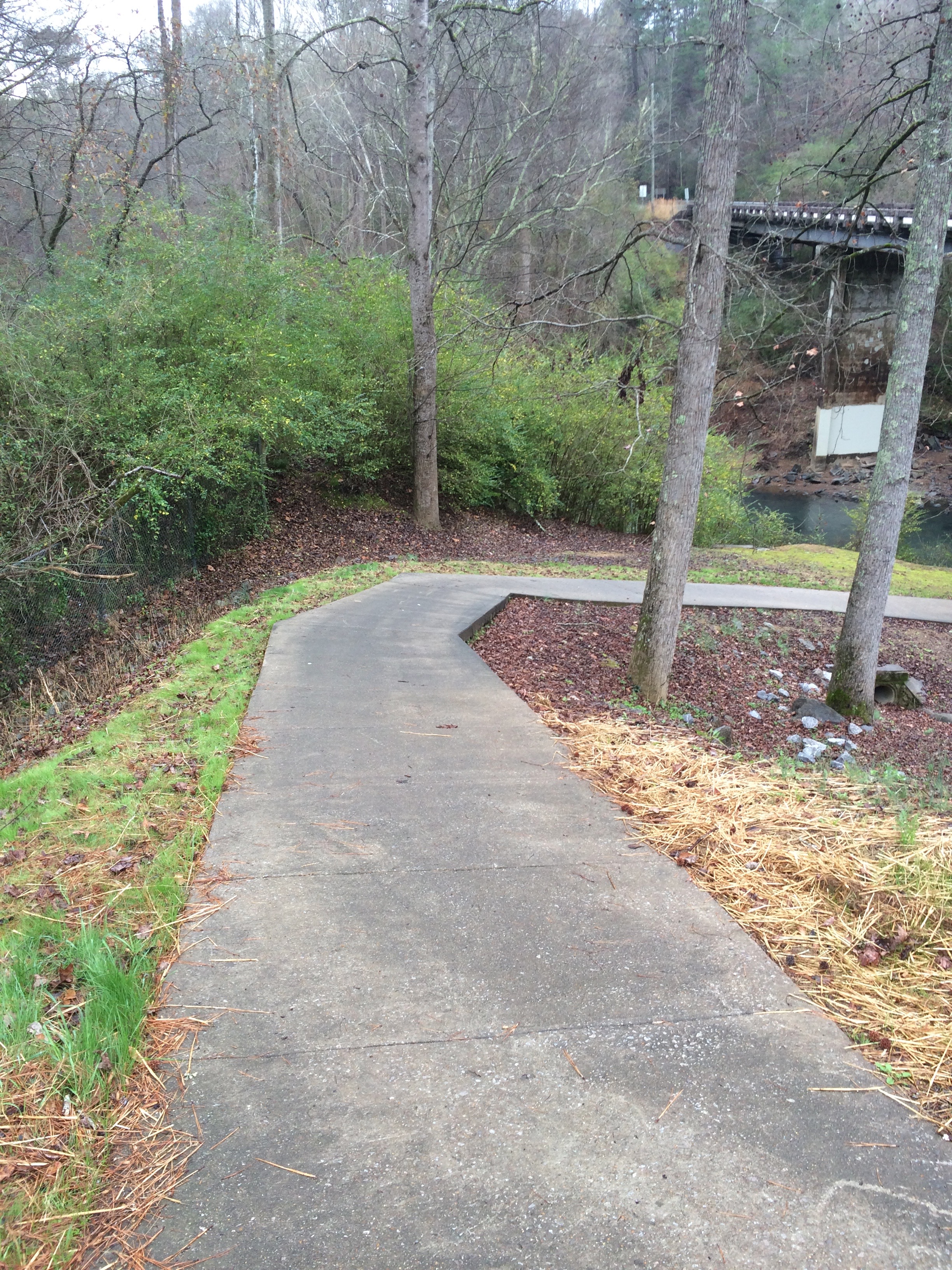
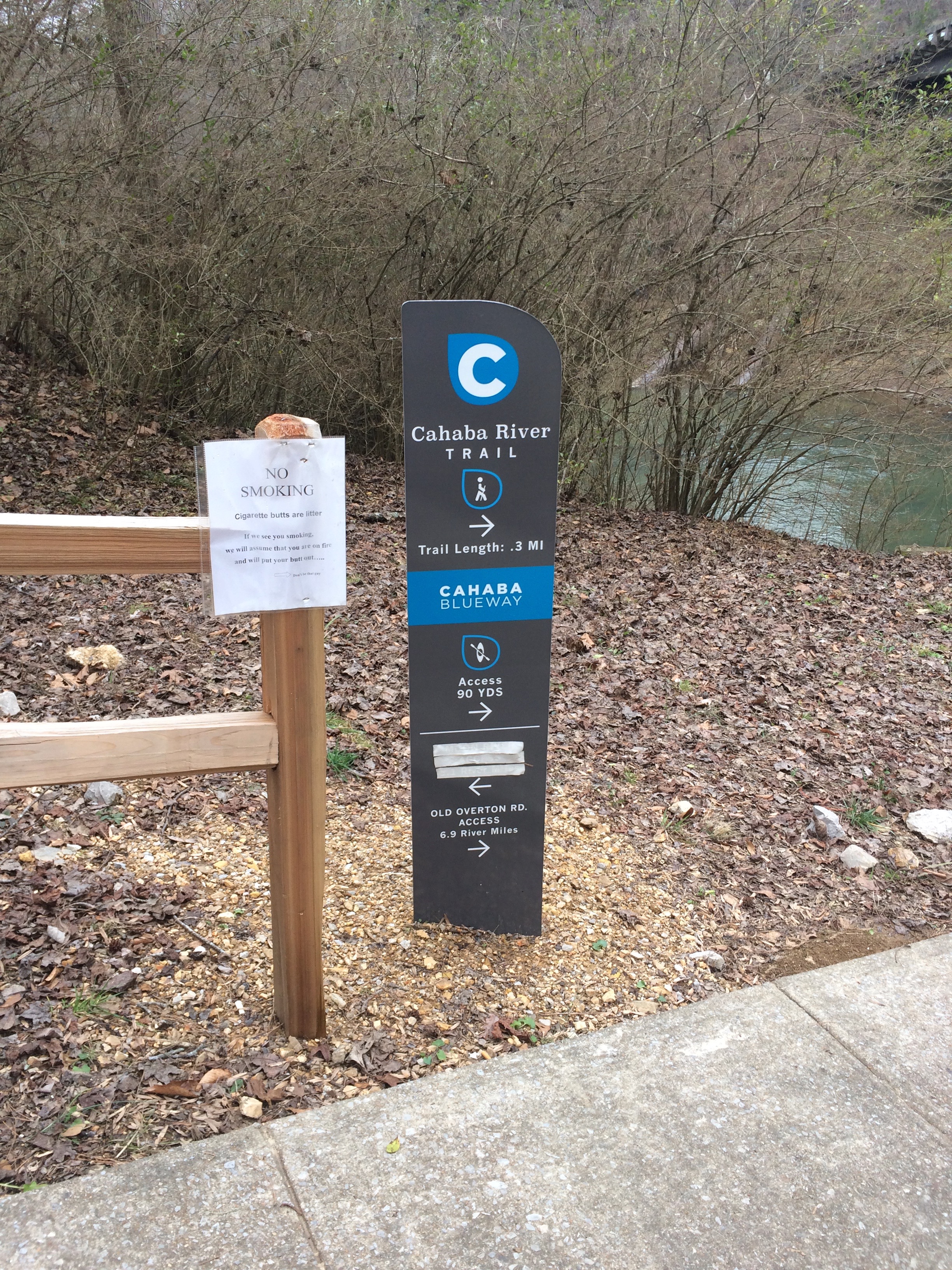
The Grants Mill access parking area currently accommodates about 20 cars.  Adjacent to the parking area is a picnic table near the concrete pathway that leads to the river.  An older concrete slab near the Grants Mill Rd. Bridge is a popular spot for people to fish and sunbathe.  Fifty yards past the slab is the new water access, which features stone steps that lead to the water’s edge.  The site also features a .25 mile hiking path along the river.  Due to the steepness of the path leading to the river from the parking area, this site is not ADA accessible.

Area Restaurants, Lodging, and Tourism Resources:
https://irondalecoc.com/members/

+River Segment - 6.9 miles

Grants Mill to Old Overton is the most popular section of the Cahaba for paddling due to its beauty, ease of access, and proximity to Birmingham. However, this 6.9 mile run that can be very shallow in the summer and difficult/slow to paddle when the water is low due to a large number of shoals along its length. When the water is flowing well (Usually December to June), it is a pleasant and relatively easy trip. The only significant elevation drop is 2.5 feet at the large shoals located 1.9 miles from Old Overton. With the river being only about 50 feet in width, be mindful of navigating around fallen trees and watch for submerged rocks. For a slightly longer trip, you may wish to take out at the Mountain Brook Cahaba River Walk, located another .8 miles past Old Overton.

+Gallery