Mountain Brook Cahaba River Walk

Designated Cahaba Blueway Access

PDF Map | Closest River Gauge | All Cahaba Gauges | Swim Guide Access Point Fishing Hiking Trail Picnic Area Swimming
×Access Point

3503 Overton Rd
Mountain Brook, AL 35223
Get Directions →

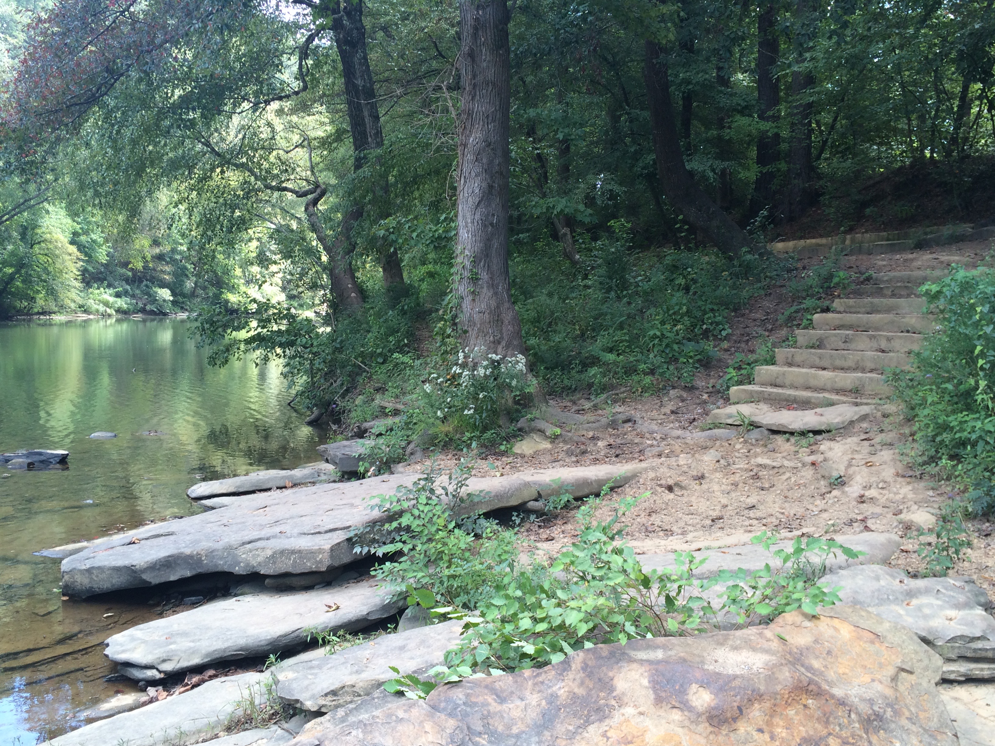
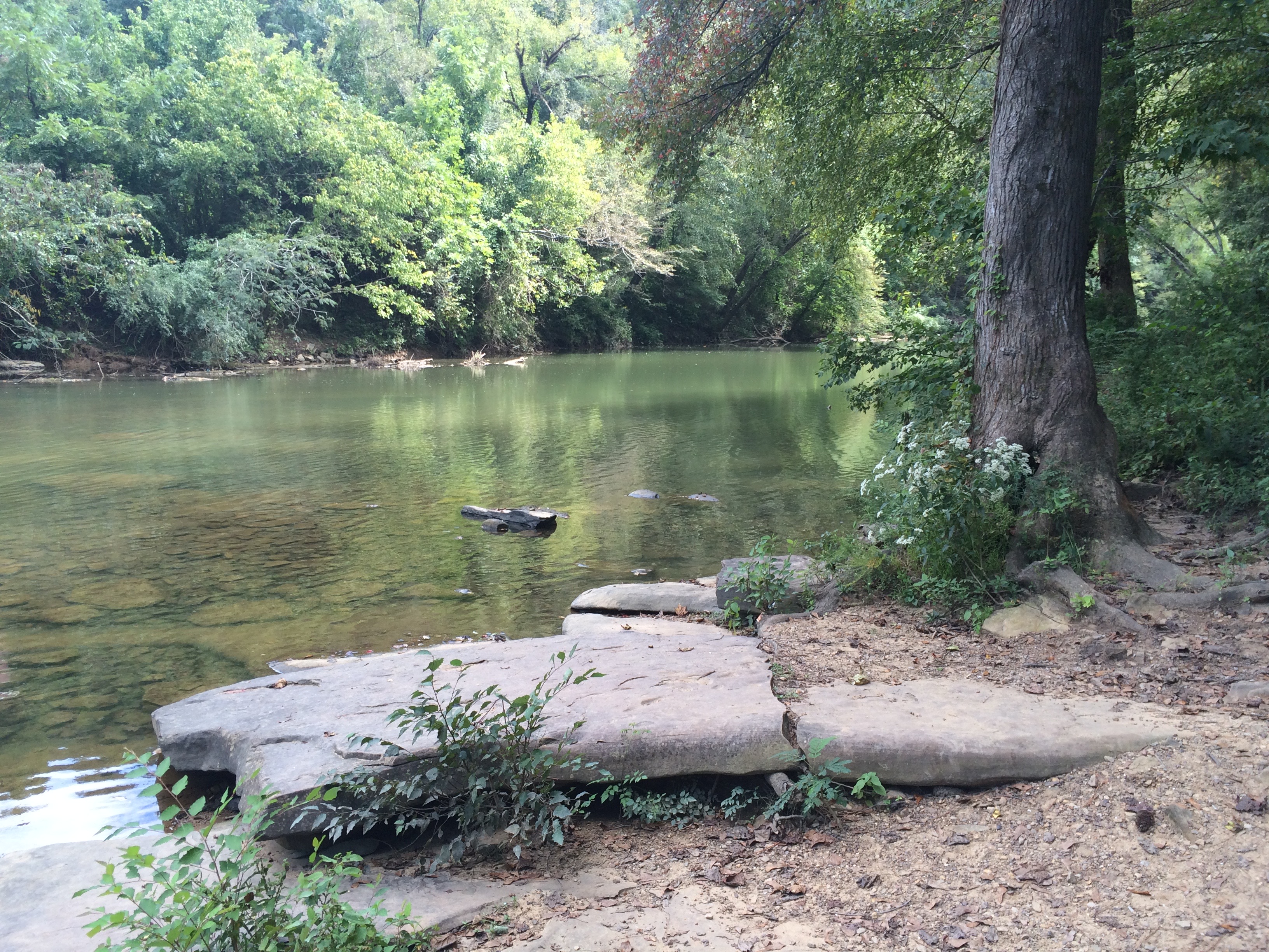
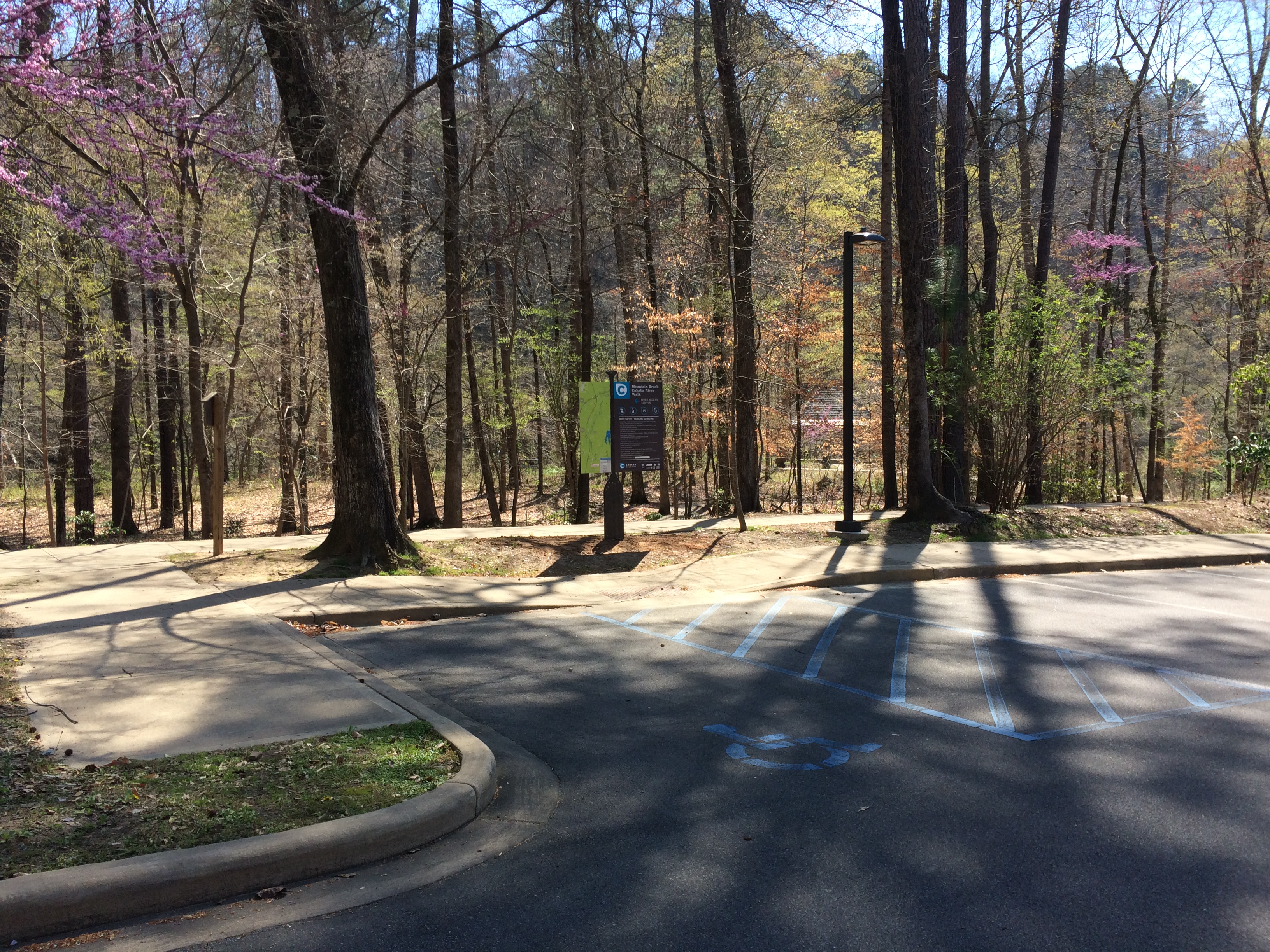
The Mountain Brook Cahaba Riverwalk has a paved parking area that can accommodate 24 cars.  A 120 yard walk leads you to the river access, which consists of a set of stone steps that lead to a natural rock slab at water’s edge.  The park features a .2 mile paved loop trail as well as a picnic pavilion overlooking the Cahaba River.

Area Restaurants, Lodging, and Tourism Resources:

https://www.mtnbrook.org
https://mtnbrookchamber.org/list/
http://vestaviahills.org/membership/member-businesses/categories/

+River Segment - 5.7 miles

The first 1.5 miles of this section has a gentle current under normal conditions, but thereafter the current generally slows due to the dam at US HWY 280. About 1 mile below the Mountain Brook River Walk access, you enter a 1/2 mile stretech of shoals as the river's elevation drops about 20 feet over this distance. These shoals present few channels to paddle when the river is low, and may necessitate walking and dragging your boat along. When the water is sufficient to float through this section, exercise caution as you exit the shoals because the bend there is abrupt. Once you exit the shoals, the rest of the section requires some paddling as the water slows. The river starts out being only about 50 feet in width and then widens to about 150 feet as you approach US HWY 280. Be mindful of navigating around fallen trees and watch for submerged rocks, particularly along the first 1.5 miles. You may also need to navigate around folating booms just above the Sicard Hollow Road bridge and be very careful not to paddle under US HWY 280 just past the take-out, since there is a dangerous dam about 50 yards downstream from there.

+Gallery