Trussville

Designated Cahaba Blueway Access

PDF Map | Closest River Gauge | All Cahaba Gauges | Swim Guide Access Point Hiking Trail Parking Trails
×Access Point

504 Cherokee Dr.
Trussville, AL 35173
Get Directions →

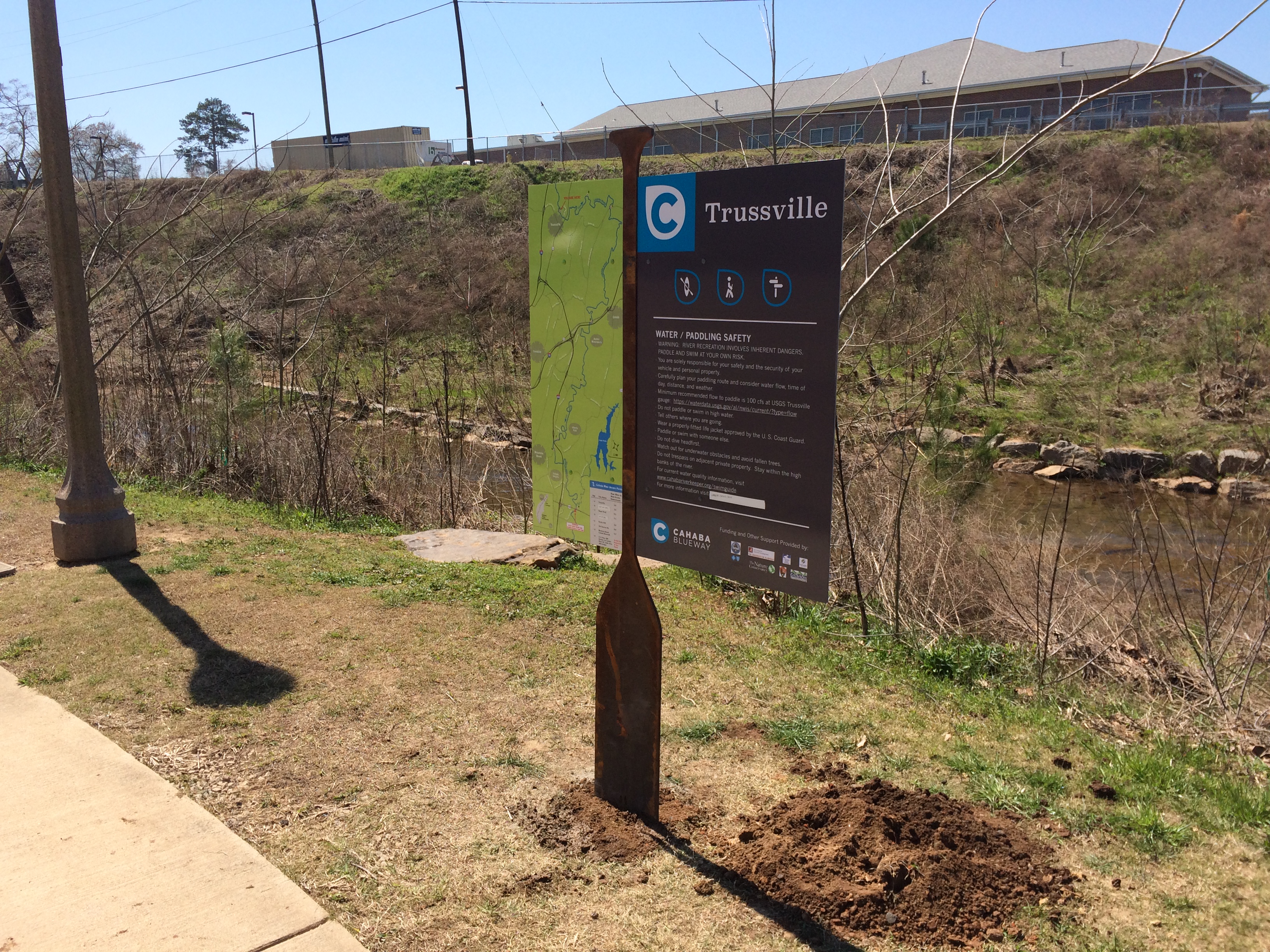
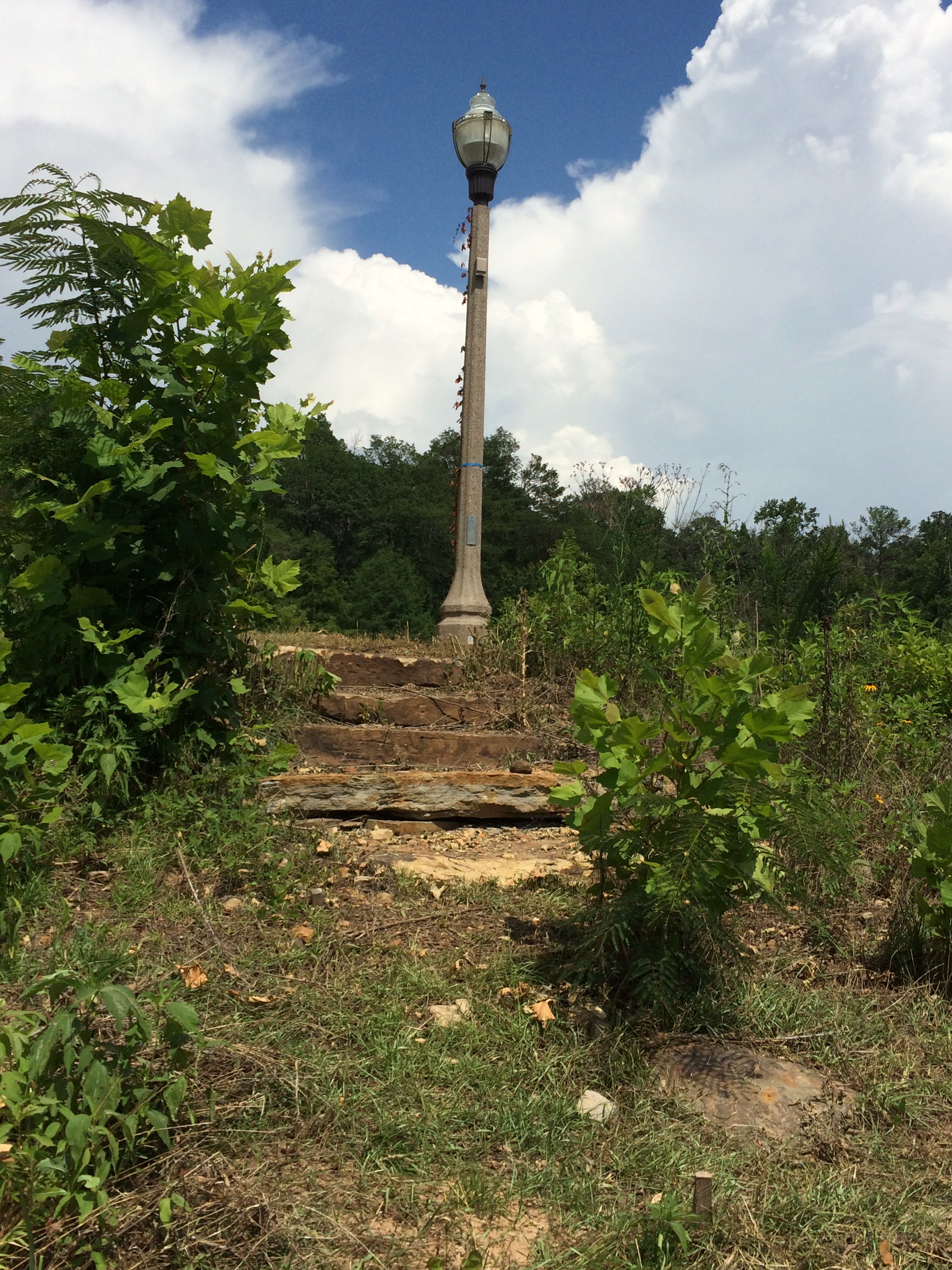
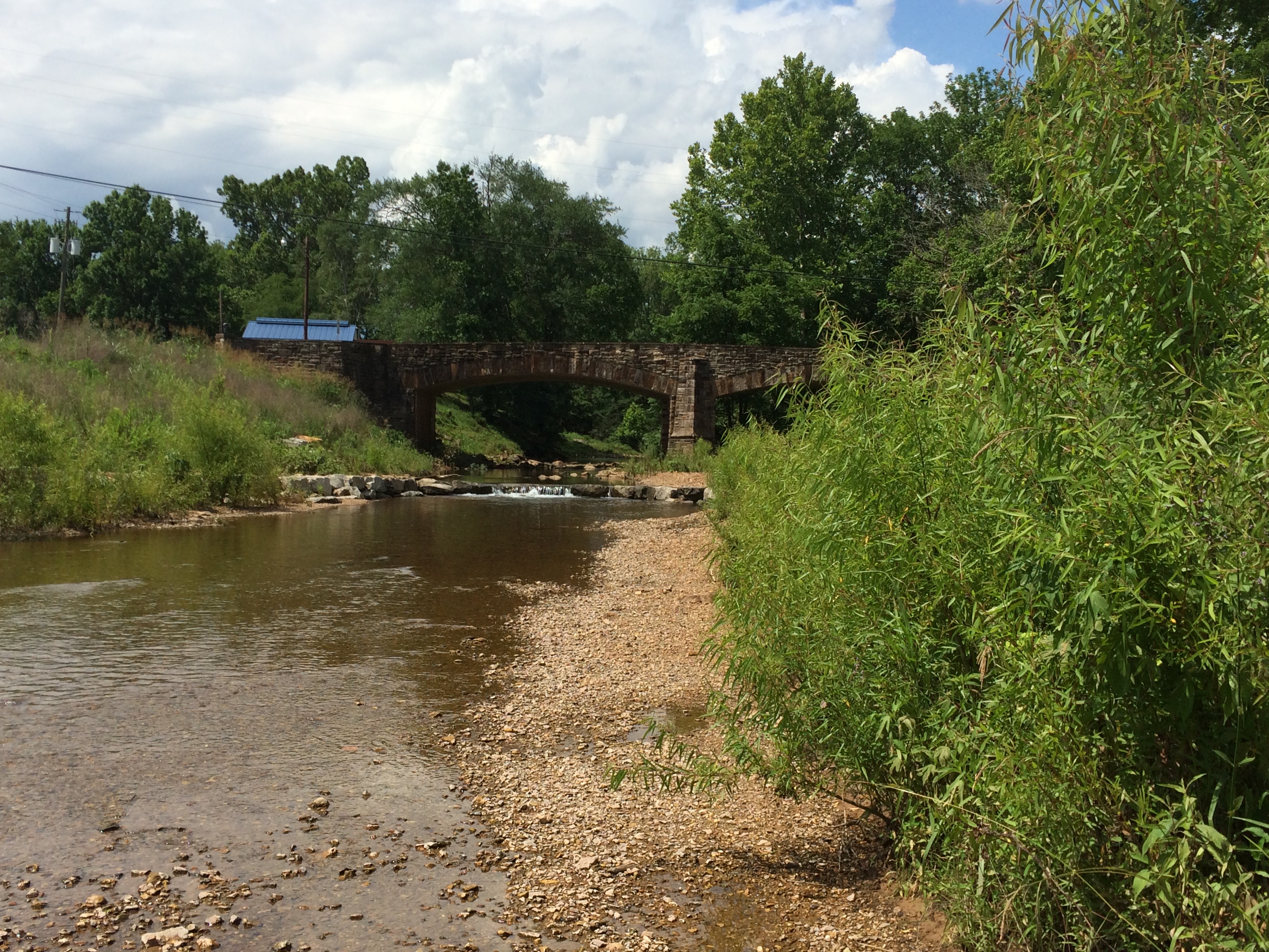
The Trussville access is the uppermost access point on the Cahaba Blueway.  Located adjacent to the walking path between the Trussville Senior Citizens Center and Cherokee Drive, the access consists of stone steps that lead to the water.  Parking is available in the Senior Citizens Center parking lot and you will need to carry your boat over to the access point.


Area Restaurants, Lodging, and Tourism Resources:

https://trussvillechamber.com


+River Segment - 7.5 miles

It is important to note that this section of the Cahaba River is somewhat technical, requiring that you are skilled at steering your boat to avoid rocks and other obstacles. You should paddle this section when there is at least 100 CFS of flow at the Trussville gauge to avoid difficulty with dragging. Paddling this section in the warmer months can be extremely difficult, if not impossible, due to low water. It is best attempted in early spring just after a light to moderate rain. It is also important to note that the float should not be attempted in high water due to swift currents around blind bends and rapids that can become dangerous. This segment of the river is very beautiful, with numerous shoals that drop significantly and rock bluffs. Be careful of sharp rocks and fallen trees that may block the river. At about mile 2, the river makes a sparp bend back to the west and there is an island. We recommend going to the left of this island to avoid sharp turns and narrow slots on the right. At about mile 3.8 you will pass a farm on your left and there will be some rocks in the river with a bluff on the right. Pass to the right, between the rocks and the bluff. After you pass by Camp Coleman, there are two Class 1 rapids and in 3/4 mile there will be a Class 2 rapid in a bend to the right with a bluff on the left. Approach the Class 2 rapid on the right side of the river with caution and if you have never paddled it before, stop on the rock ledge before the rapid on the right and get out of your boat to take a better look at the rapid. Stay to the right hand side of the chute as much as possible when going through this rapid. After this rapid, there are some sharp shoals for the next 1/2 mile and than after the railroad bridge around mile 5.5, the river will be mostly shallows and riffles until you reach Roper Road.

+Gallery