Hoover Sports Park East

PDF Map | Closest River Gauge | All Cahaba Gauges | Swim Guide
×Access Point

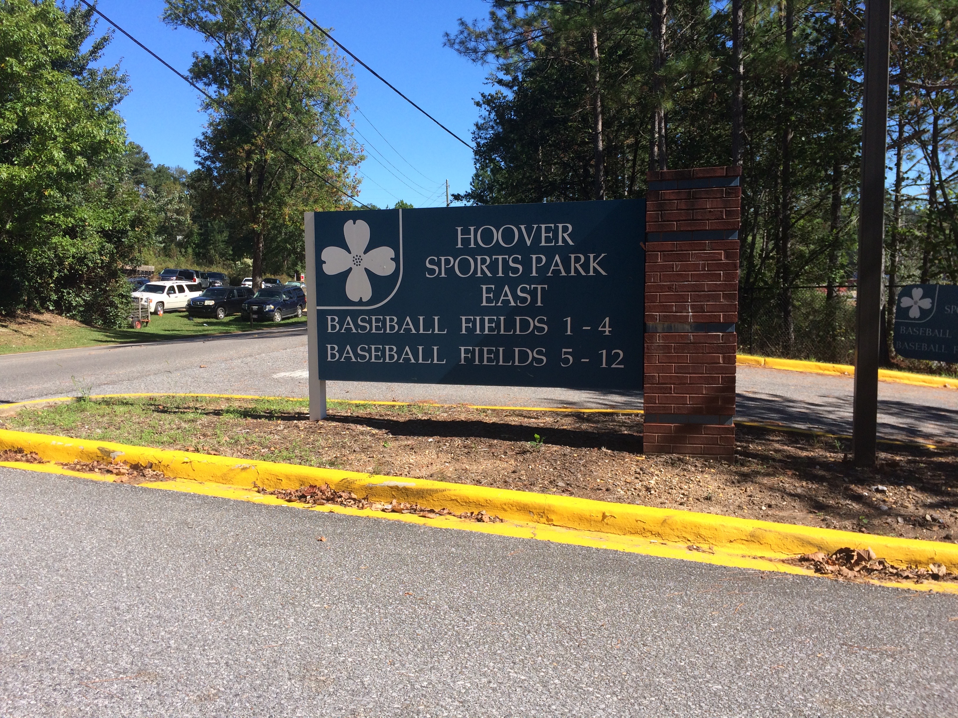
2649 Old Rocky Ridge Rd
Birmingham, AL 35216
Get Directions →

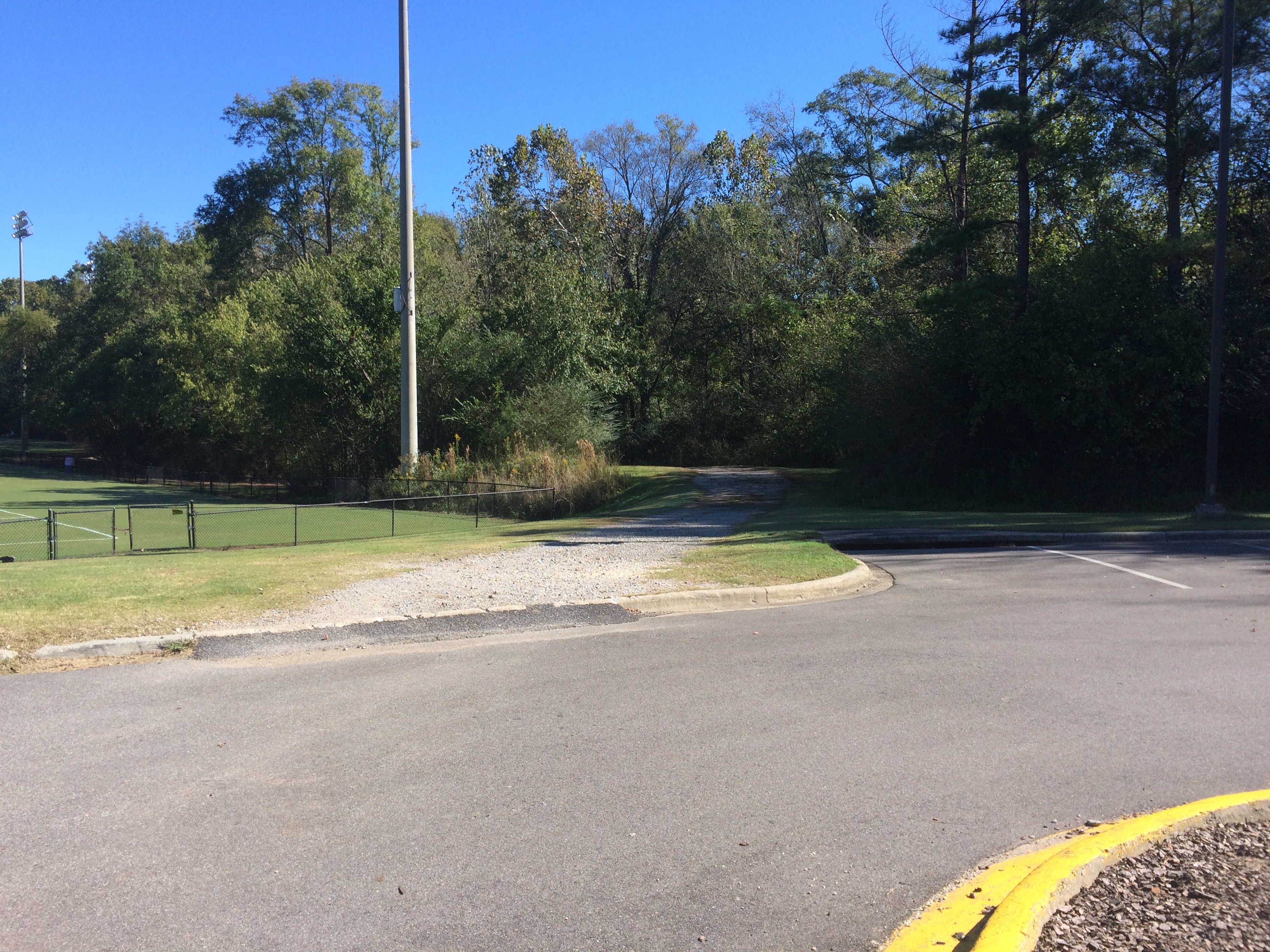
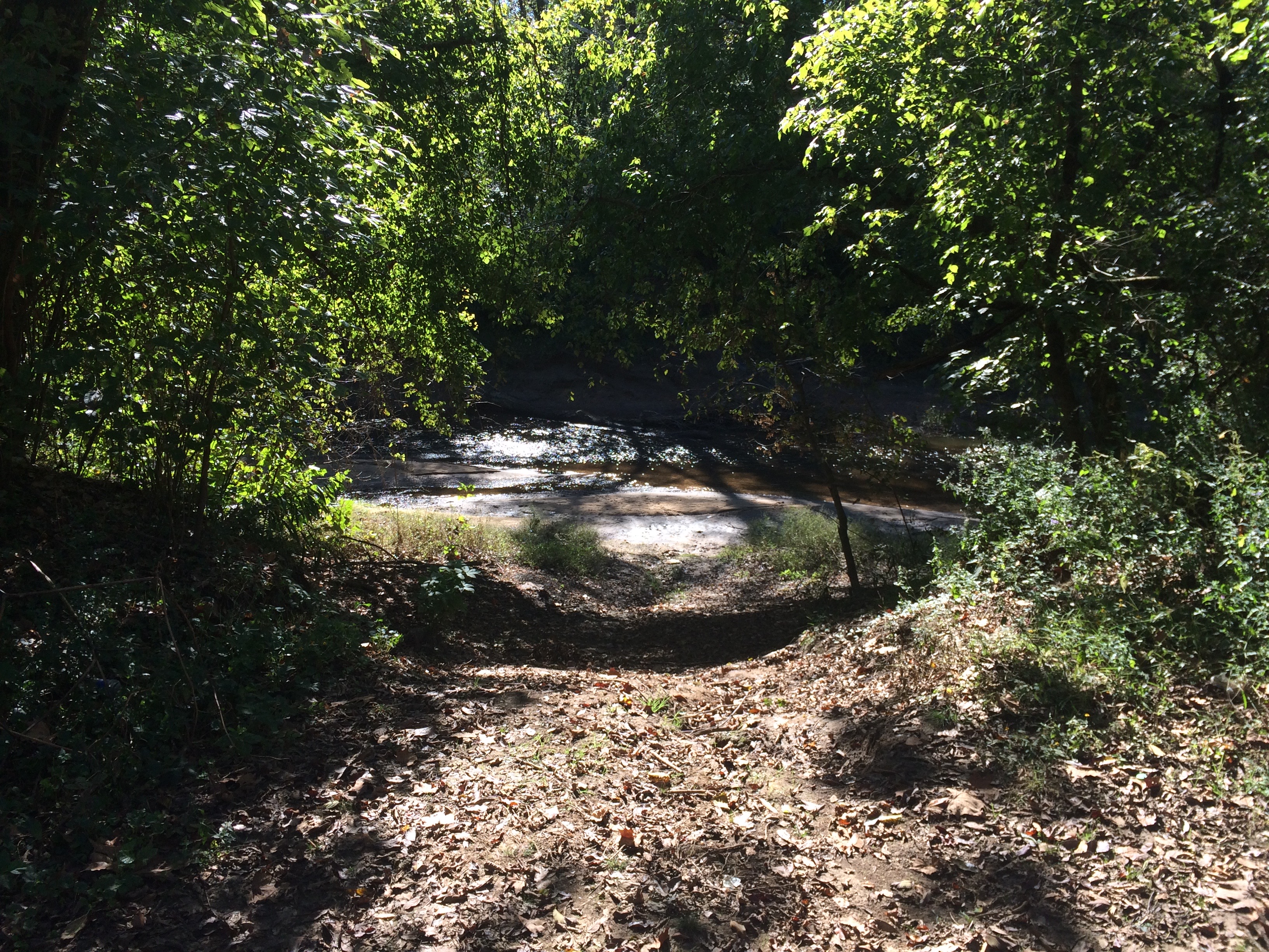
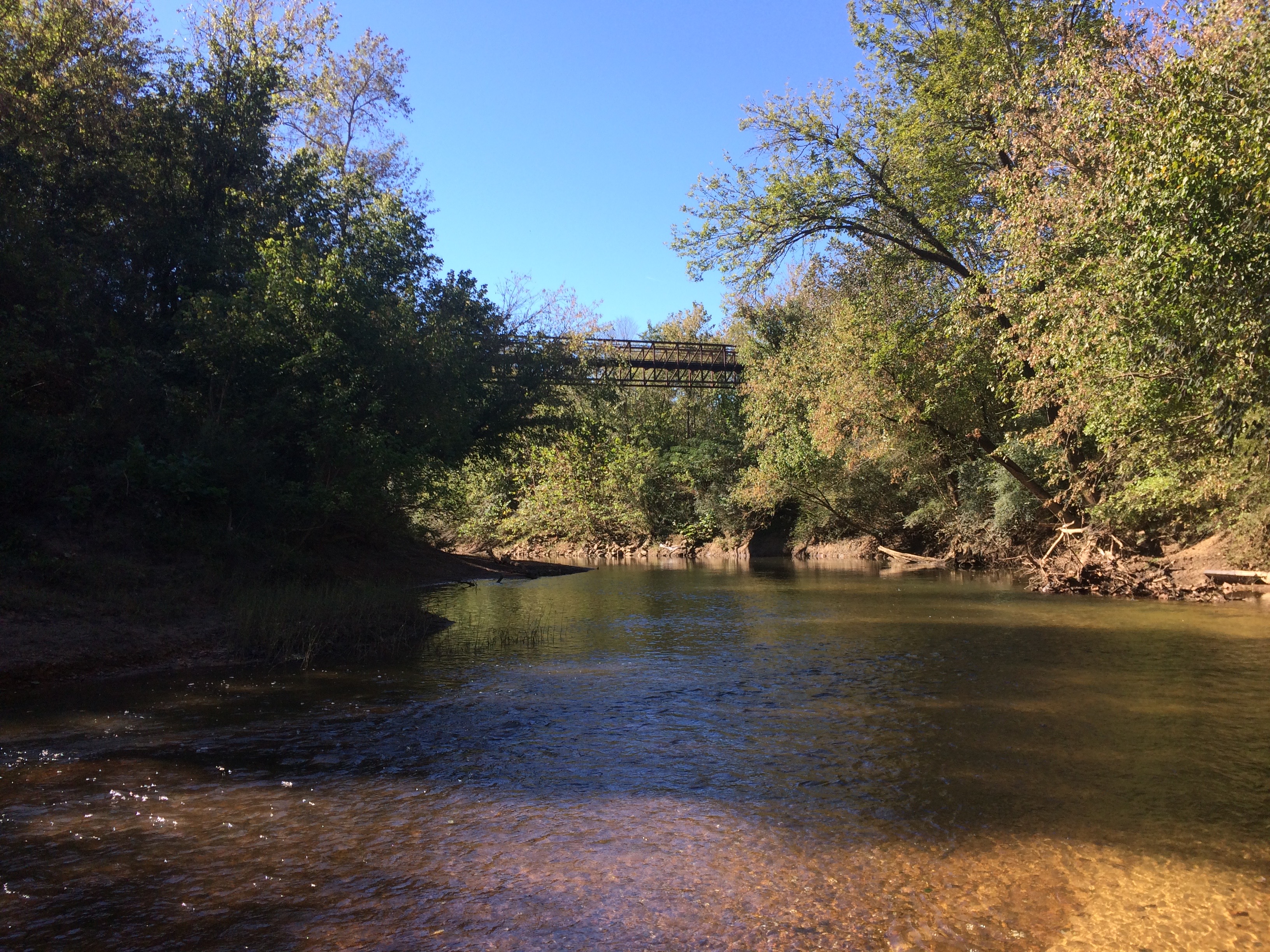
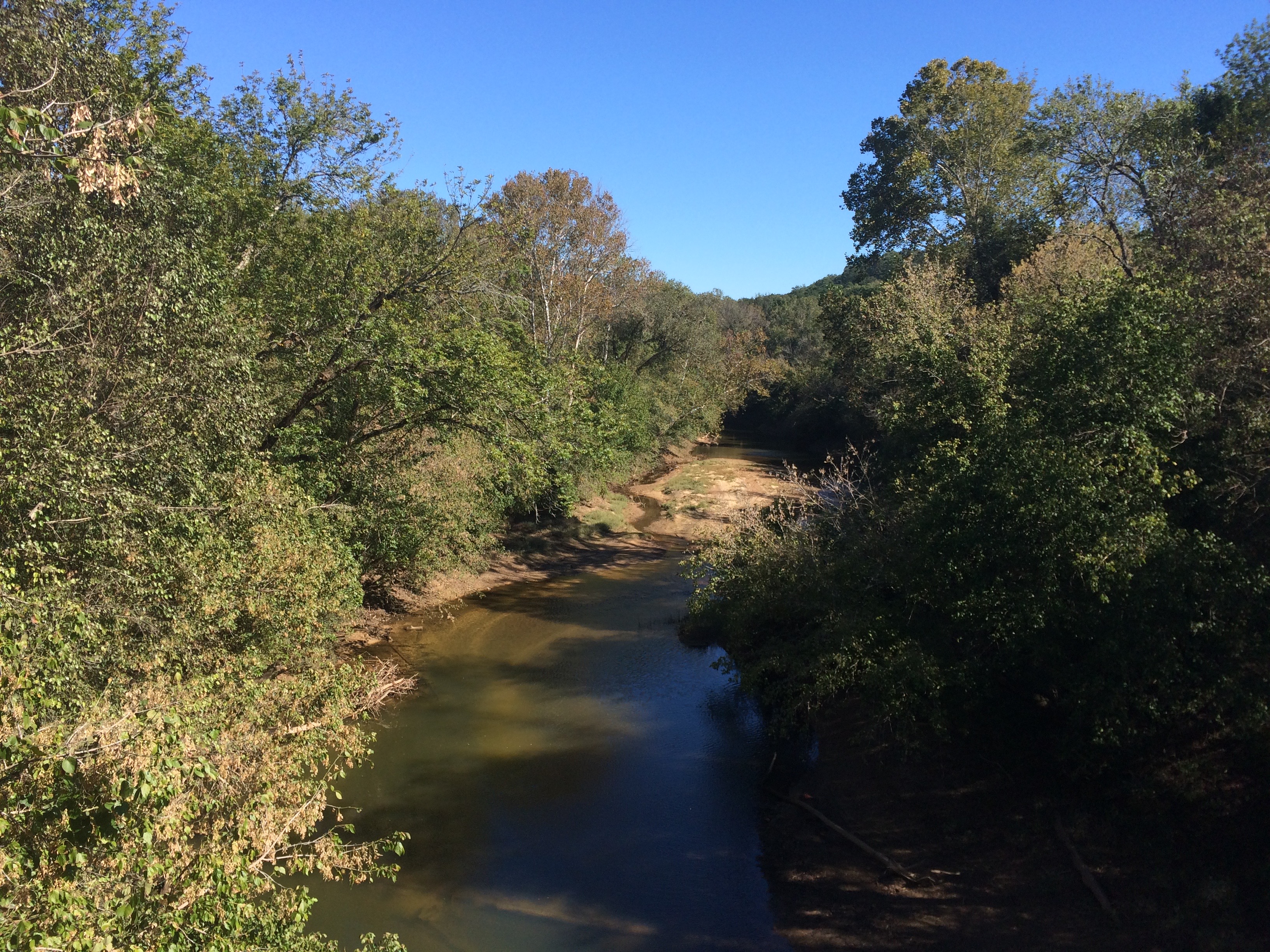
The Hoover Sports Park East access point is currently an unimproved loading area and water access that is accessible via a gravel road from the parking lot adjacent to the soccer fields.  If using this access, you can drive down the gravel road and unload your boat near the water.  You should park in the parking lot, though, as there is not enough space in the loading area for cars to maneuver around parked cars.


Area Restaurants, Lodging, and Tourism Resources:

https://business.hooverchamber.org/list/

http://www.shelbycountytourism.org/index.aspx?NID=129

+River Segment - 6.5 miles

This section is a relatively easy float, but there are numerous shallows that may be difficult to paddle in low water. Minimum discharge at the USGS gauge near Hoover, AL is 150 cfs. While this section flows through a heavily developed area of suburban Birmingham with a number of neighborhoods, commercial areas, and road crossings, there are portions of the float that are very scenic and natural, with a number of riverside rock formations and bluffs that are quite beautiful from the water. Due to significant stream bank erosion in this area, fallen trees in the water may present a hazard. Be very careful not to be swept into these obstacles, which can overturn your boat. When you reach Bains Bridge, the take-out is about 50 yards downstream from the bridge on the right. Take care with your footing as you carry your boat up the ramp to the parking area as it can be slick after a rain.

+Gallery