Whites Chapel Pkwy.

PDF Map | Closest River Gauge | All Cahaba Gauges | Swim Guide
×Access Point

Whites Chapel Pkwy.
Trussville, AL 35173
Get Directions →

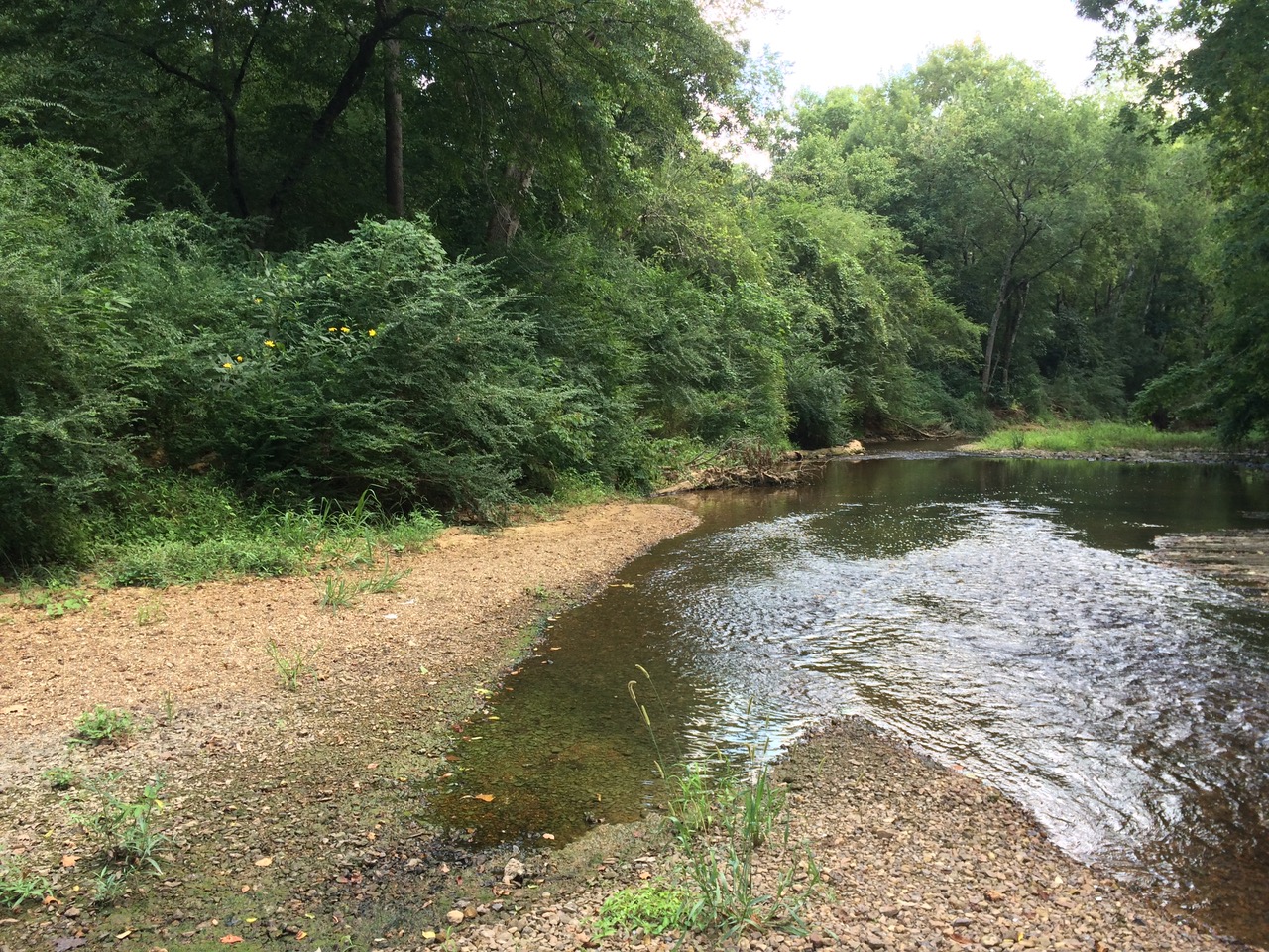
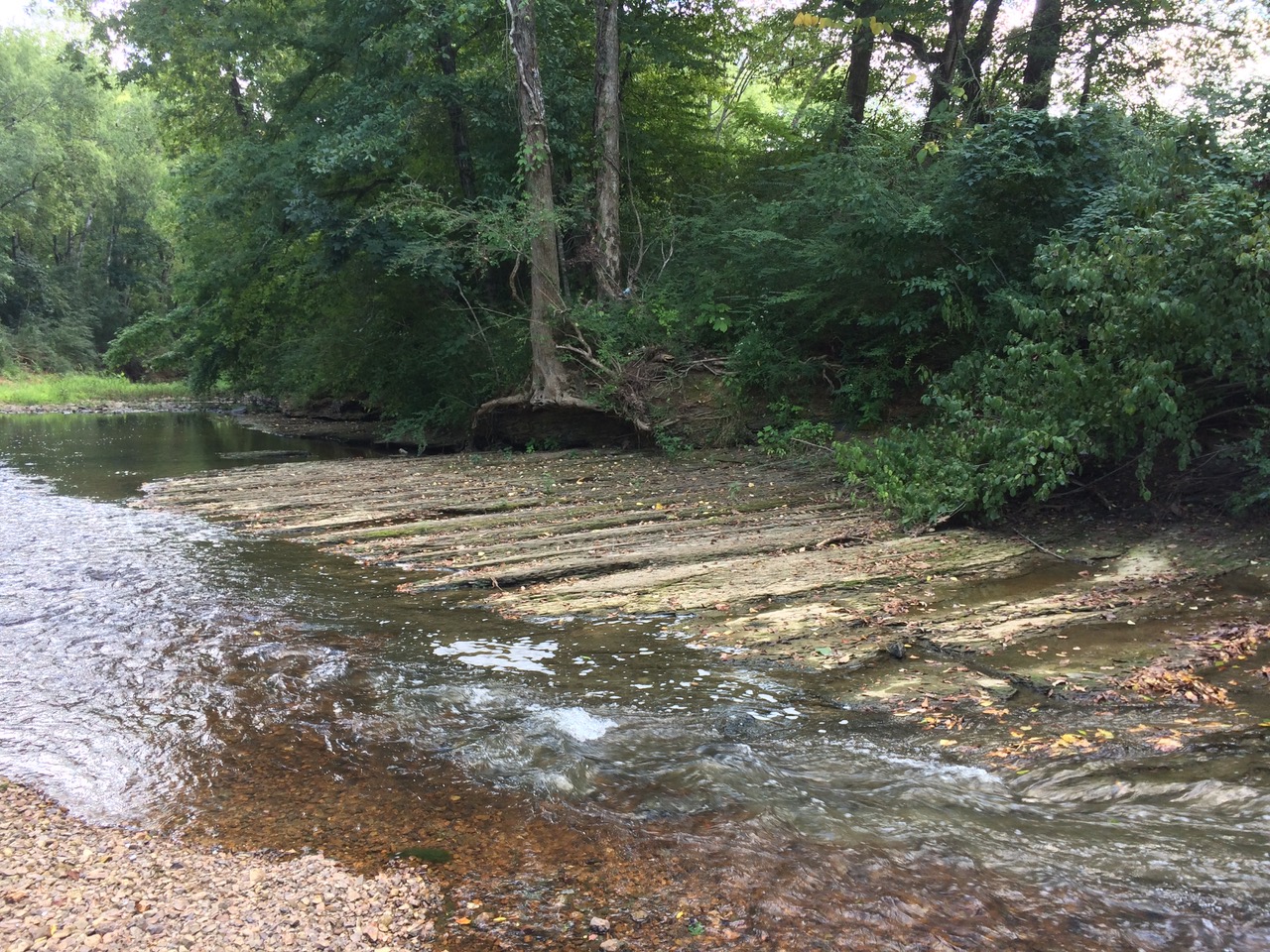
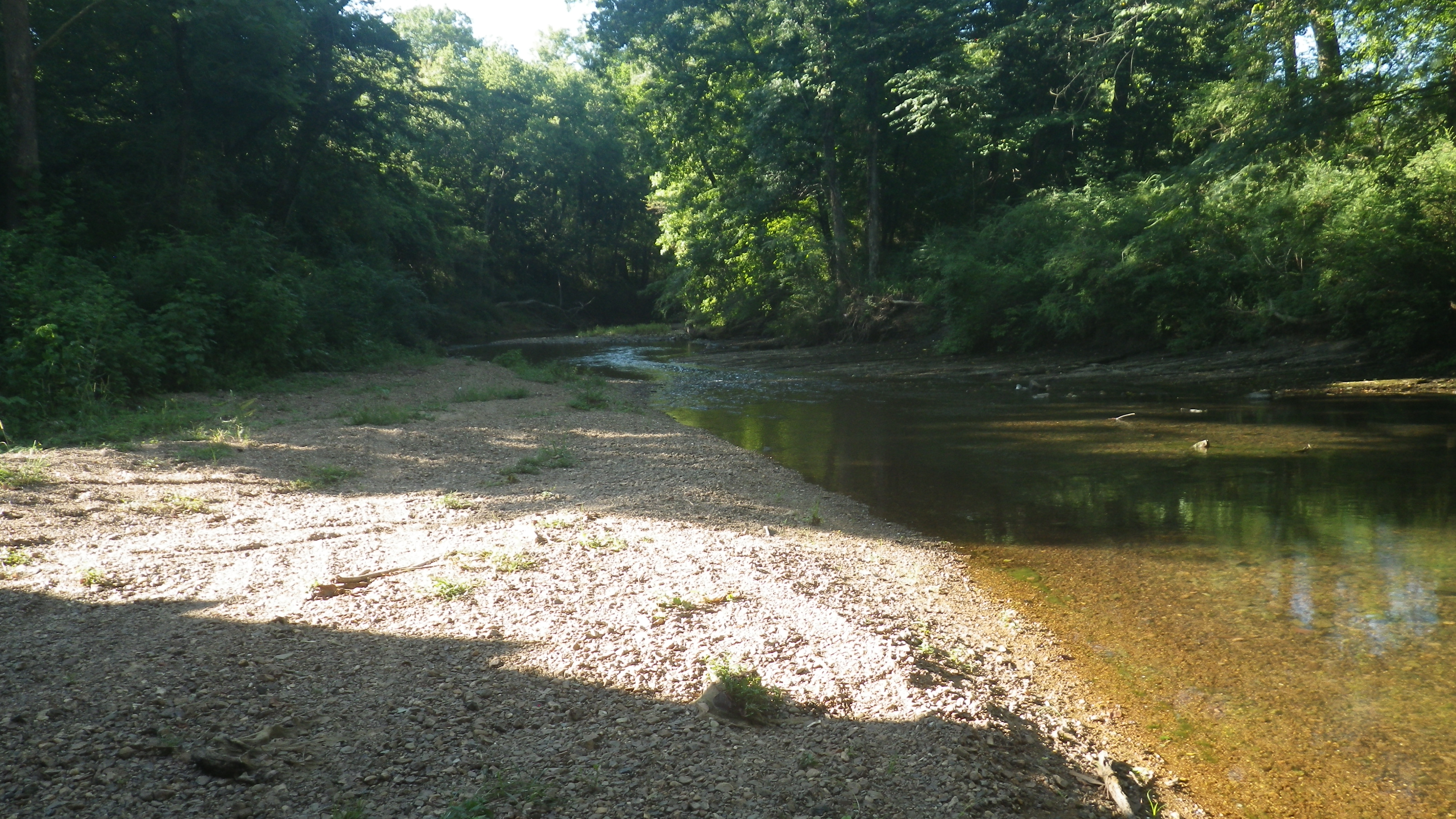
The Whites Chapel Pkwy. access is currently an unimproved natural access on the east bank of the river within the right-of-way of Whites Chapel Pkwy.  There is a short dirt drive that leads from the north shoulder of Whites Chapel Pkwy. to beneath the bridge.  Parking and turn-around space is very tight, and the view from the road is completely obscured.  Park here at your own risk and enter and exit from the drive onto Whites Chapel Pkwy. with caution since sight distances are limited.


Area Restaurants, Lodging, and Tourism Resources:

https://trussvillechamber.com

+River Segment - 9.5 miles

It is important to note that this section of the river is difficult to paddle during most of the year due to low water and should only be attempted when the Trussville USGS gauge indicates a flow of at least 100 CFS. There are a number of historic bridges that are interesting to look at, but be mindful that logjams may be around these obstructions. After the confluence with Black Creek around mile 2, there will be a mile-long pool, at the end of which is a picturesque rock island that is best passed on the right. At mile 5.1 you will pass old railroad bridge supports and .2 of a mile beyond that, you will encounter the only true rapid on this section, which is a Class 1, with two drops. At mile 7, you will see the Norfolk Southern railroad track on your right. This is the major active line between Birmingham and Atlanta. At mile 8.3 you will pass under the historic Lovick Bridge. The Moon River access is .2 of a mile past the U. S. Hwy. 78 bridge immediately below the shoals on the right. Be on the lookout for a natural access with small stone steps above a natural rock ledge at the water's edge.

+Gallery