Heiberger

PDF Map | Closest River Gauge | All Cahaba Gauges | Swim Guide
×Access Point

Onrow Tubbs Rd
Marion, AL 36756
Get Directions →

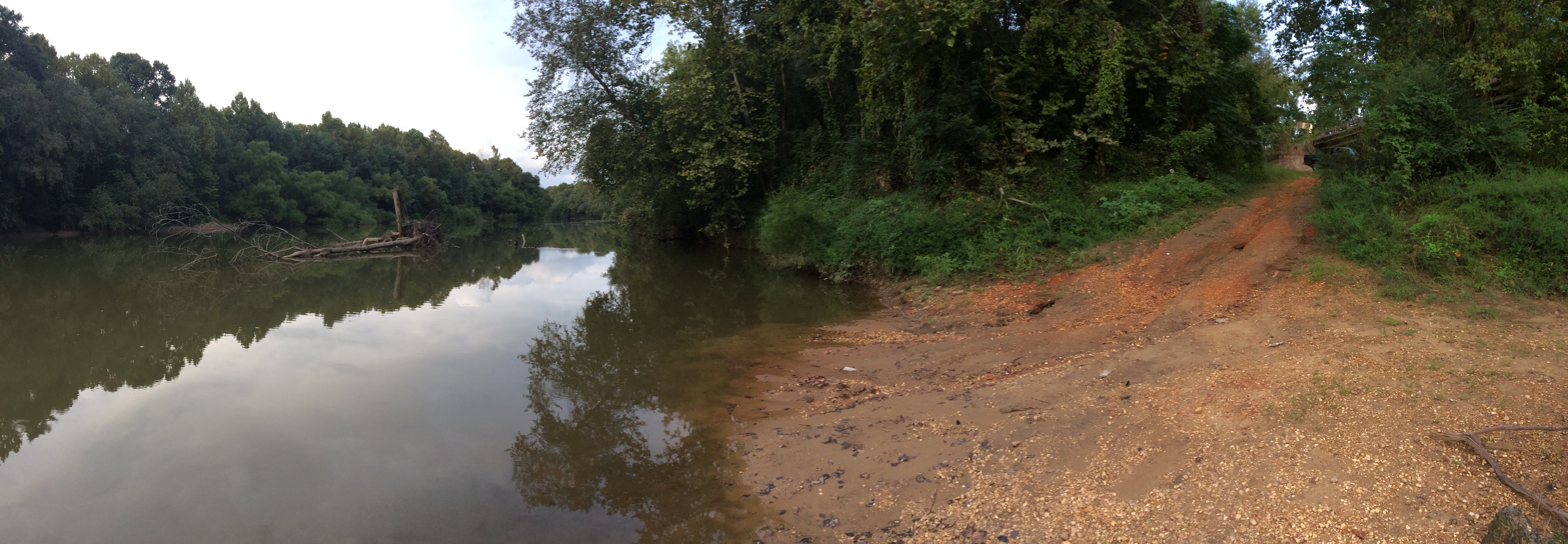
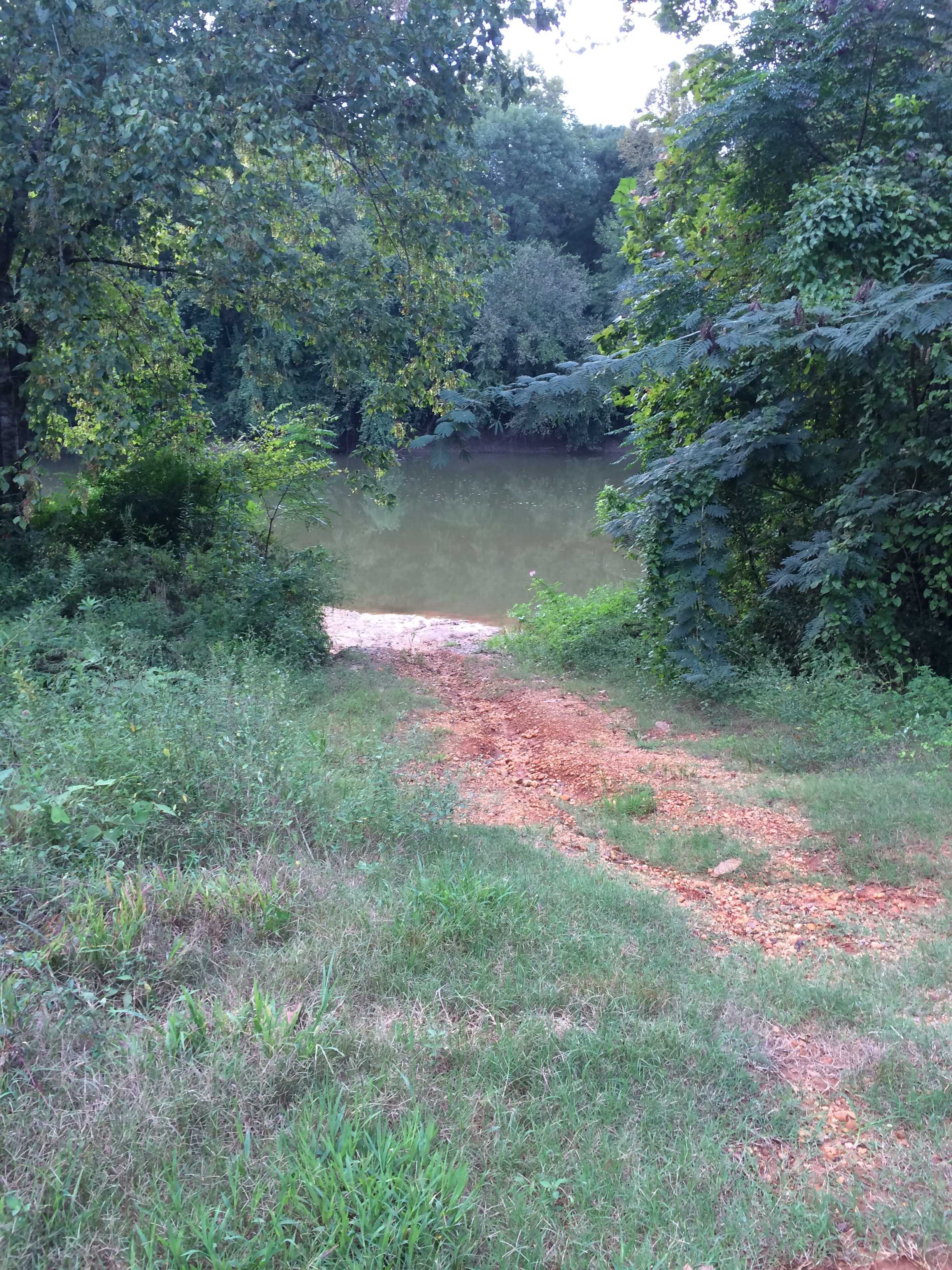
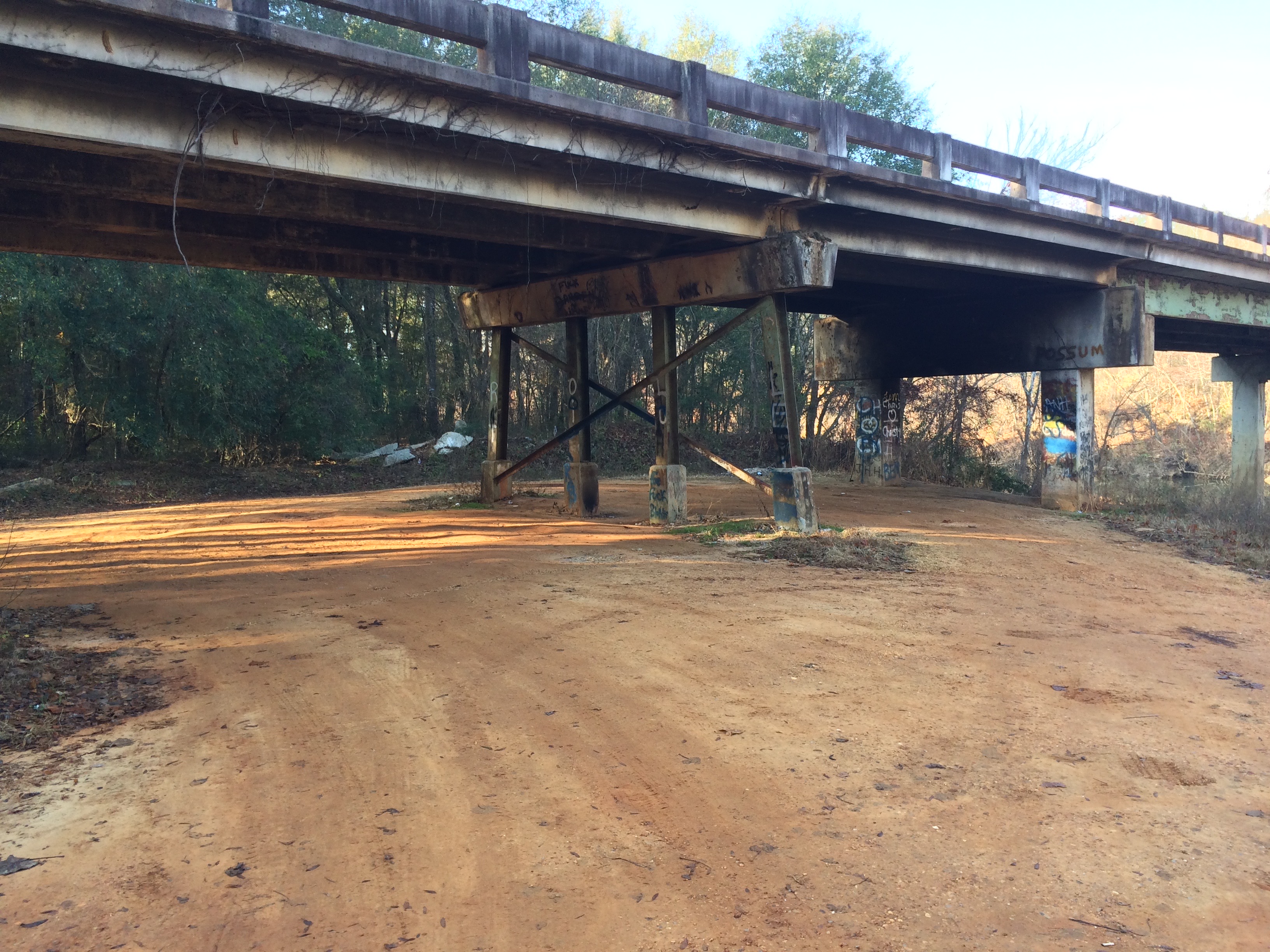
The Heiberger access is a dirt ramp just upstream from the Heiberger bridge on the left bank of the river, accessible by a short dirt drive from Perry County Road 49.  There is parking for about five cars.

Area Restaurant, Lodging, and Tourism Resources:

https://www.alabamasfrontporches.org/southwest-county/perry-county/

+River Segment - 9.9 miles

This section of river is very remote, with the only signs of human activity being a handful of pastures in the first two miles of the section. Large gravel bars ar locted on pratcially every bend. The further downstream you go, these bars have less gravel and more sand. Also along this section you will encounter a number of oxbow sloughs along the banks of the river and baldcypress trees in and around these beautiful features. These sloughss are the old channels of the river that have been abandoned as it meanders across its floodplain. The gravel bars and beaches are considered private property by most of the landowners, so stay on the water and do not trespass. An important landmark is the heavily vegitated island on the right side of the river less than 1/2 mile before the take-out at Barton's Beach / Perry Lakes. You will want to land your boat at the upstream end of Barton's Beach and look for the trailhead and Cahaba Blueway trail blade sign at the edge of the woodline about 50 yards from the water. Barton's Beach is owned and protected by The Nature Conservancy, and vehicular access is not permitted past the locked gate at the boundary with Perry Lakes Park. You will need to carry your boat to the parking area at Perry Lakes Park about 1/2 mile away. Be mindful that the Perry Lakes Park gate closes at sundown.

+Gallery