Harrisburg Rd.

PDF Map | Closest River Gauge | All Cahaba Gauges | Swim Guide
×Access Point

Harrisburg Rd
Centreville, AL 35042
Get Directions →

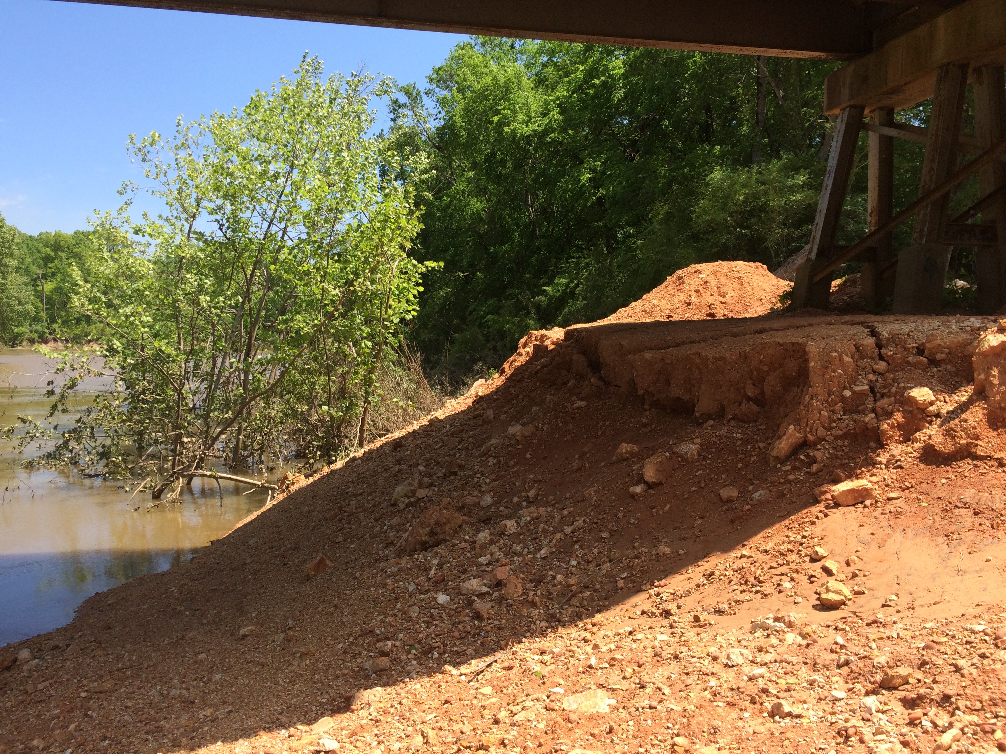
The Harrisburg Road access is an unimproved dirt access under the south end of the Harrisburg Road bridge on the left bank of the river.  It is accessable via a short dirt drive from Harrisburg Road.  There is room to park about five vehicles, but the site is not visible from the bridge and parking as at your own risk.  While there is no infrastructure here that provides “easy” access to the water, intrepid paddlers should be able to get boats in and out of the water at this location.

Area Restaurants, Lodging, and Tourism Resources:

https://www.tourwestalabama.com/county-overall/bibb-county/

https://www.alabamasfrontporches.org/southwest-county/perry-county/

+River Segment - 12.5 miles

This section of the river is very remote, with only a few pastures to break up the heavily wooded river banks. Here you get a sense of what Alabama looked like before humans became part of the landscape, and wildlife and natural vistas abound. There is one house at Mile 8.4 on the right bank that is a good distance reference. The gravel bars are considered private property by most of the landowners, so stay on the water and do not trespass. This and the lower sections of the river should be paddleable throughout the year, but be sure not to float them when the water is high. The take-out is just before the Heiberger bridge on the left bank.

+Gallery