US Hwy. 80

PDF Map | Closest River Gauge | All Cahaba Gauges | Swim Guide
×Access Point

US-80
Marion Junction, AL 36759
Get Directions →

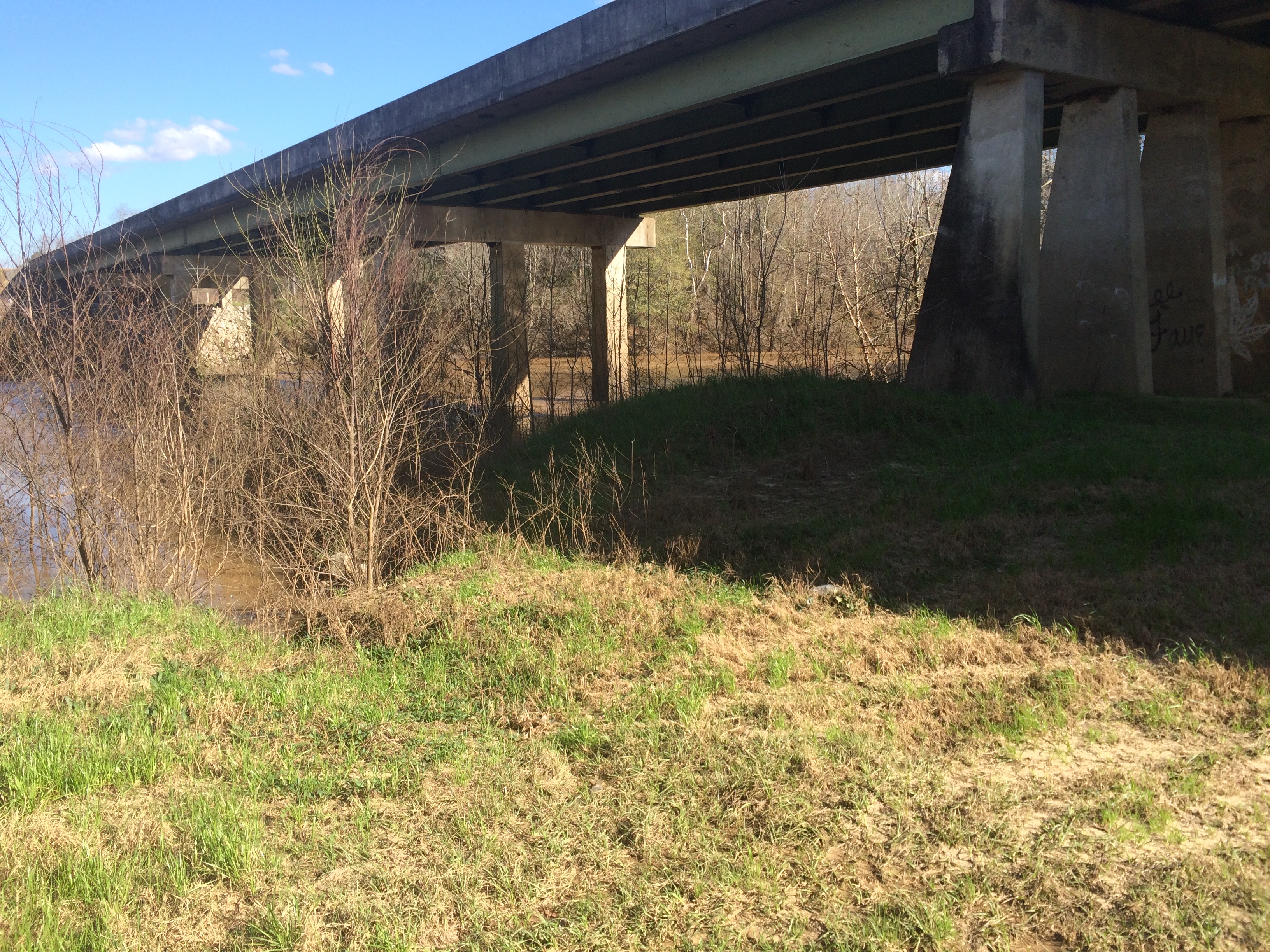
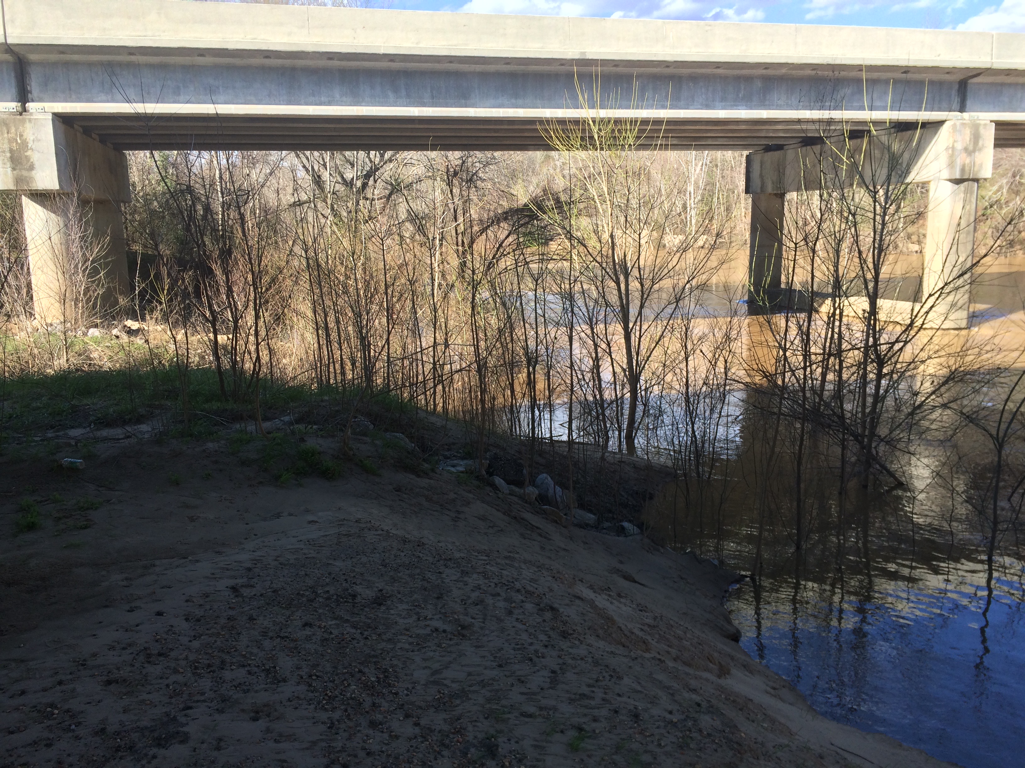
The U.S. Hwy. 80 access is an unimproved parking and water access area between the highway’s bridges.  You can reach it by way of an access road from the eastbound lanes just west of the bridge.  There is parking for about 10 cars here and the approach to the water is a moderately steep sandy bank. 


Area Restaurants, Lodging, and Tourism Resources:

https://www.alabamasfrontporches.org/southwest-county/dallas-county

http://www.selmaalabama.com

+River Segment - 12.4 miles

This section of the Cahaba flows through the heart of Selma Chalk Country, where you will float past majestic white bluffs. The rock here is made up of the microscopic skeletons of phytoplankton that lived in the shallow sea that covered this part of Alabama during the Late Cretaceous Period around 80 million years ago. Continue to keep a lookout for the fossils of Creataceous marine animals such mosasaurs, plesiosaurs, giant turtles, and shark teeth in the shallows as you paddle! At the Elam Holley, Sr. Park take-out you will pull up on the sandy bank on the left just past the AL Hwy. 22 bridge.

+Gallery