Suttle

PDF Map | Closest River Gauge | All Cahaba Gauges | Swim Guide
×Access Point

Co Rd 6
Selma, AL 36701
Get Directions →

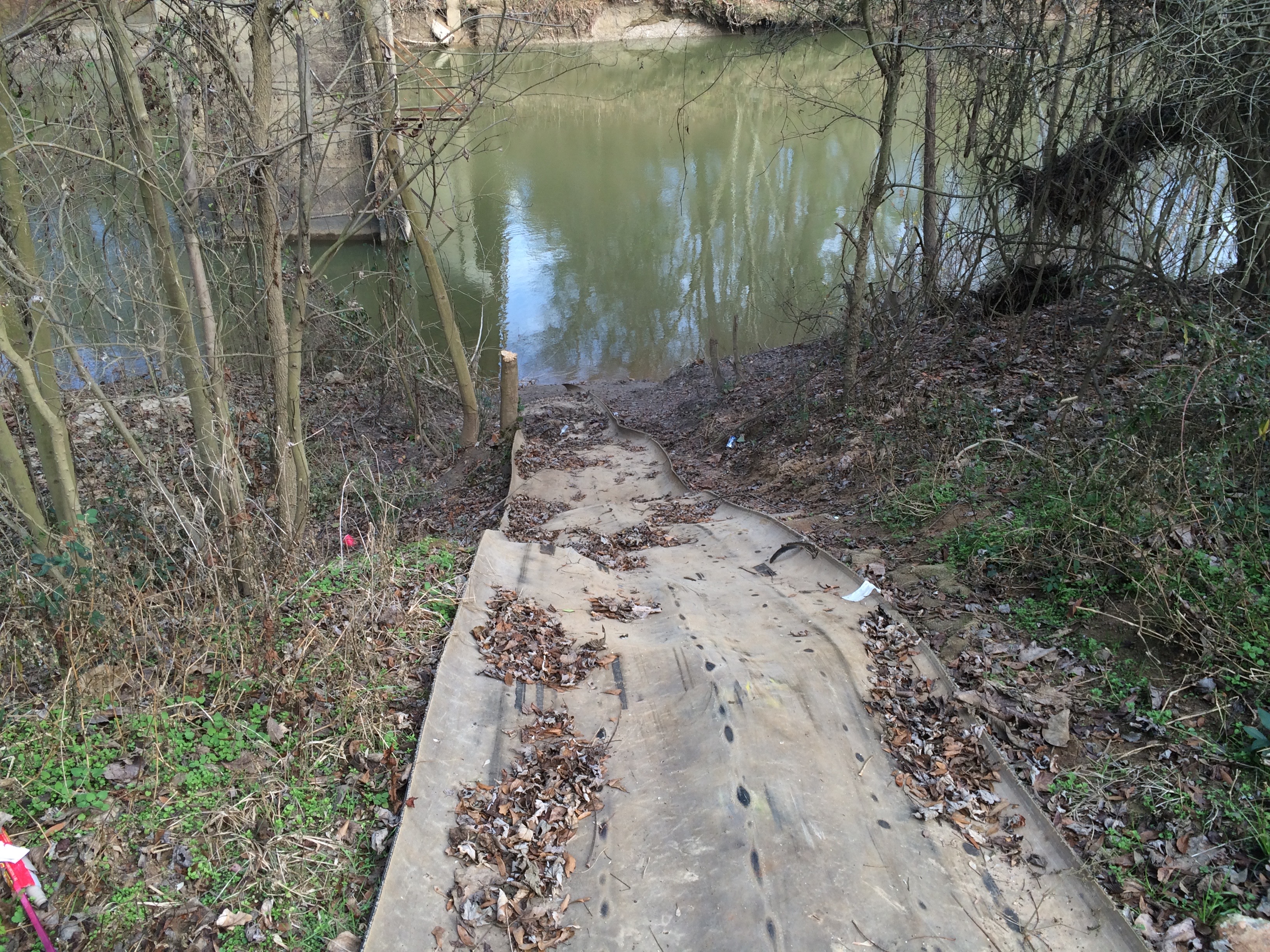
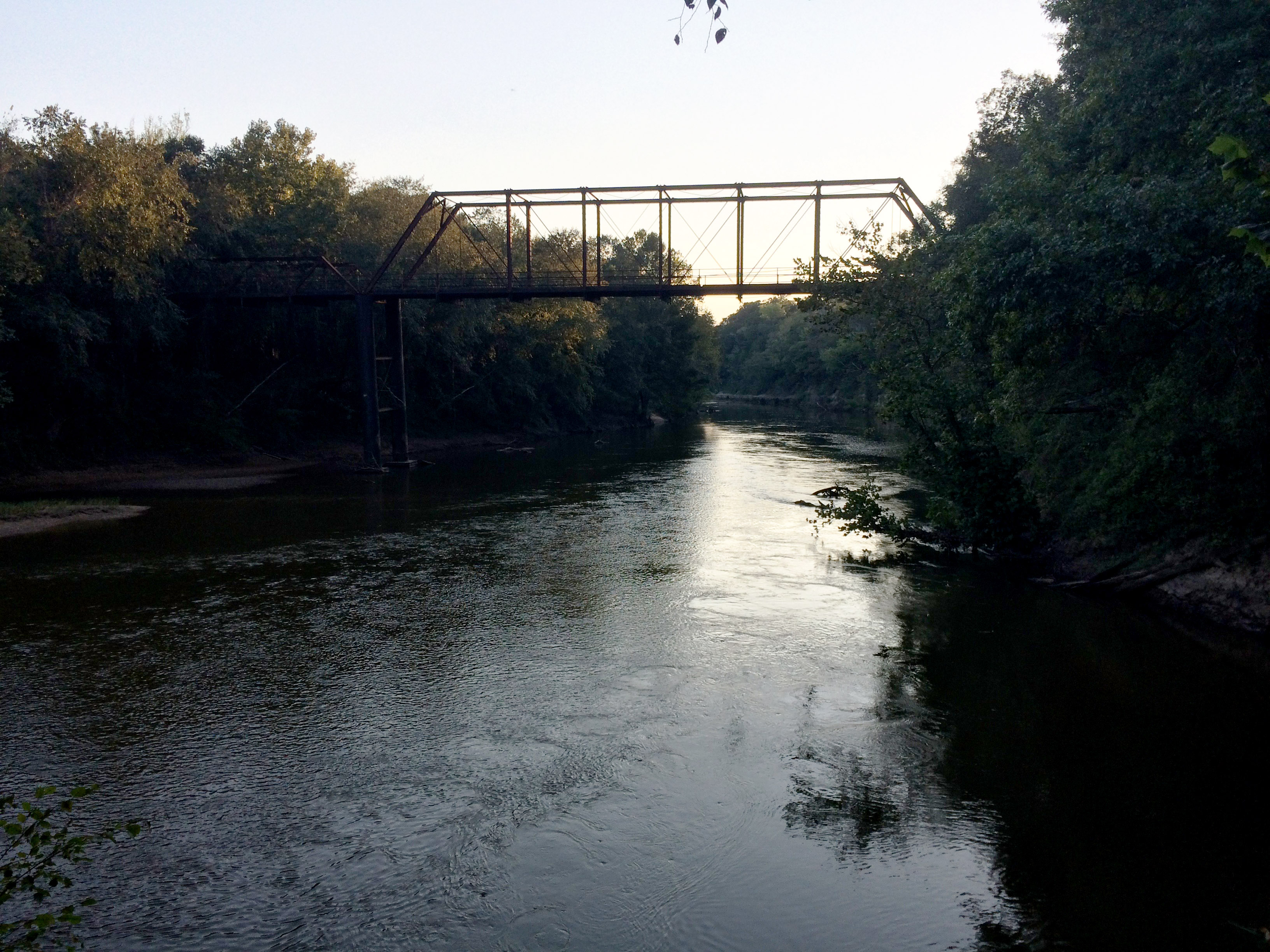
The Suttle access is located beneath the Perry County Road 6 bridge on the right (west) bank of the river.  A dirt drive leads to a parking are under the bridge with space for about five cars.  The access is unimproved, with a moderately steep sandy slope to water’s edge.  This location is not visible from the road and is unmonitored.


Area Restaurants, Lodging, and Tourism Resources:

https://www.alabamasfrontporches.org/southwest-county/perry-county/

https://www.alabamasfrontporches.org/southwest-county/dallas-county/

http://www.selmaalabama.com


+River Segment - 9.7 miles

As with other sections of the Cahaba upstream, this section is remote and undeveloped, and features heavily wooded river banks. It is truly wild and beautiful! However, the sand bars are not as large as those further upstream. There are a few manmade landmarks that provide good distance references along the way. Keep your eyes peeled for an interesting change in the rock outcropping on the banks, which are mostly bluffs along this segment that range from 30 to 100 feet high. At about mile 4, you will start to see white chalk along these bluffs. This is the Mooreville Chalk, which is the lowest (and oldest) member of the chalk formations that underlie Alabama's Black Belt region. You will also start to see eastern red cedar trees along the banks. These trees love soil with lots of calcium and are very common in the Black Belt. Continue to keep a lookout for the fossils of Creataceous marine animals such mosasaurs, plesiosaurs, giant turtles, and shark teeth in the shallows as you paddle! The take-out at U.S. Hwy. 80 is on the right bank under the bridge. It is an unimproved, moderately steep sandy slope.

+Gallery