Pratt’s Ferry

Designated Cahaba Blueway Access

PDF Map | Closest River Gauge | All Cahaba Gauges | Swim Guide Access Point Fishing Hiking Trail Picnic Area Wildflowers
×Access Point

River Bend Rd
Centreville, AL 35042
Get Directions →

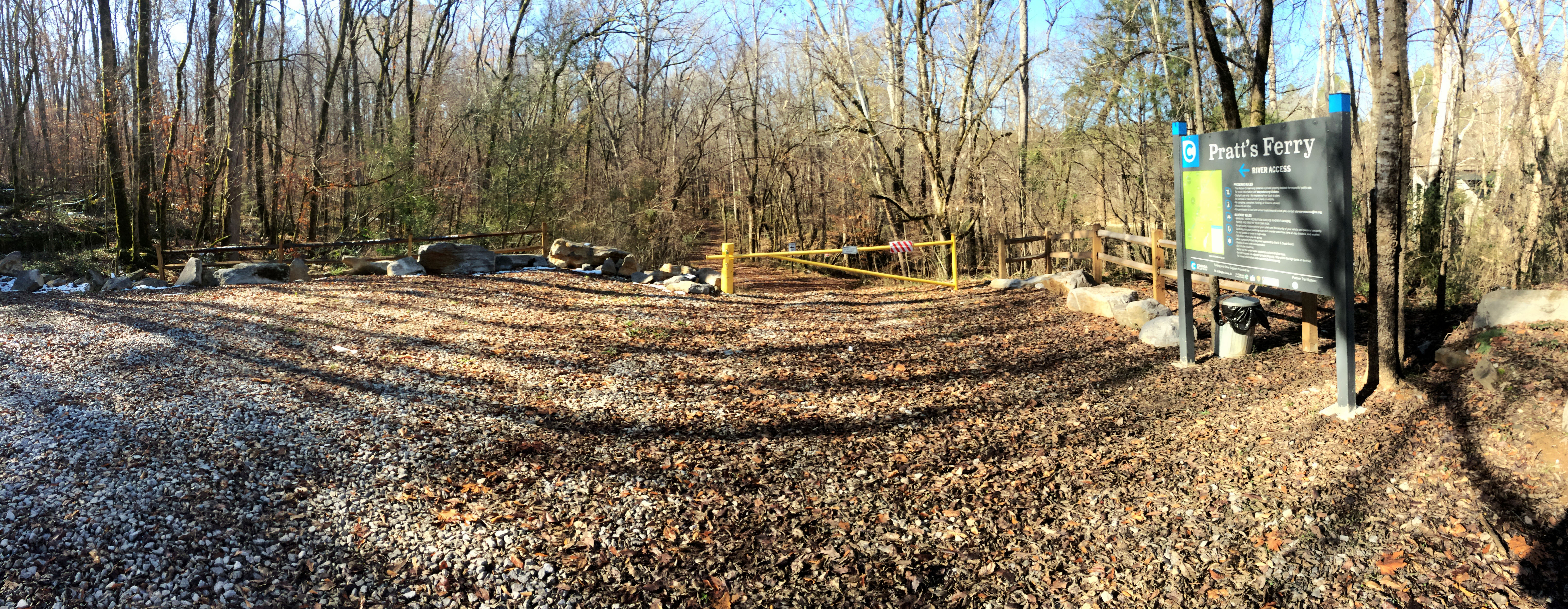
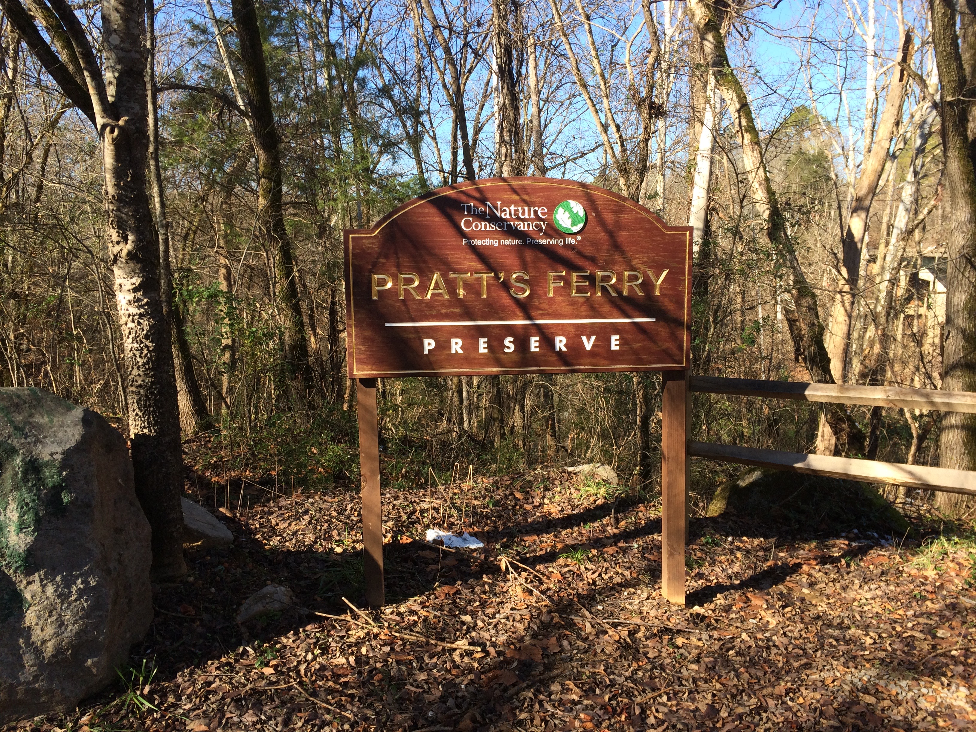
The Pratt’s Ferry access is owned and operated by The Nature Conservancy of Alabama and is within their Pratt’s Ferry Preserve.  The parking area can accommodate about 10 cars.  Water access is past the locked gate and approximately 100 yds. down the concrete-reinforced driveway, which leads to a dirt ramp to the water.  This property is privately owned and available for respectful public use.  Please follow the following site rules:  Use permitted during daylight hours only;  No trespassing from dusk to dawn;  No removal or destruction of plants or wildlife; No camping, campfires, hunting, or firearms; Do not litter.  For permission to load and unload boats behind the locked gate, send an email in advance to alpreserveaccess@tnc.org.

Area Restaurant, Lodging, and Tourism Resources:

https://www.tourwestalabama.com/county-overall/bibb-county/

https://www.nature.org/en-us/about-us/where-we-work/united-states/alabama/

+River Segment - 8.1 miles

The first several miles of this section are generally flat water with mostly mild shoals and small drops. Above the confluence with Shultz Creek, the river banks are lined with very scenic cliffs and unusual rock formations. At mile 7.5 you will encounter a short shoal with a drop of about 2 ft. Be sure to stay to the right here and look for the clear path. We do not recommend trying to pass this shoal on the left due to the jagged drop there. At Mile 8, just upstream from the Old Hwy. 82 bridge, slow up and keep an eye out for the last shoal on the left and a large sand island to the right. You will take out at the Centreville access point just upstream from these features. In the shoal, look for the "V" shaped rock formation between the island and the left bank. This is likely an ancient weir first built by the Native Americans in this area to catch fish. The Centreville access point is on the right bank just upstream of the island. The access consists of steel stairs with canoe slide rails to aid getting your boat out of the water and up the slope. Parking is available immediately uphill from the access point or in front of the Bibb County Chamber of Commerce in the old railroad depot building that fronts along Old Hwy. 82.

+Gallery